Pin-Chin-Sky Loop, Day 2
Field Notes II.XLVIII: Backpacking and photographing the Talladega National Forest and Cheaha Wilderness in Alabama
Welcome to Field Notes!
This is day 2 of my backpacking trip on the Pin-Chin-Sky Loop in Alabama in early November 2024. Read part 1 here-
Enshrouded in Cloud
Raging wind in the treetops wakes me in the middle of the night. Without bothering to check the time I lay still in the darkness, listening. Water drops pop and splatter against the tent walls, but it isn’t really raining. Just a violent wind.
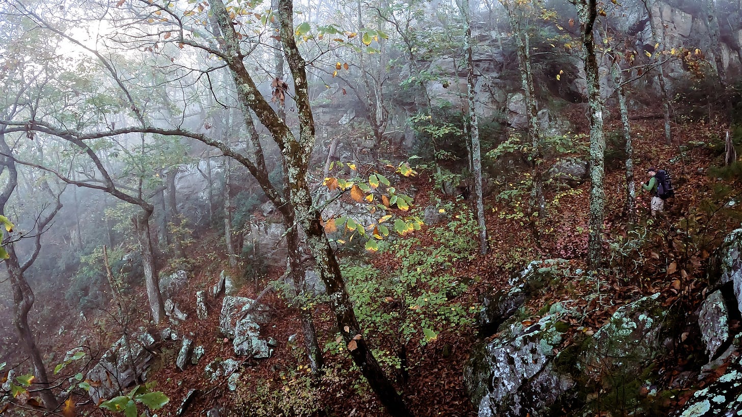
I get up to investigate the conditions outside and step out into a cloud. Visibility dwindles to nothing beyond 10 ft. My headlamp only makes visibility worse by illuminating all of the water droplets suspended in the air around me. Branches thrash overhead. This cloud is at war with the tree canopy.
My sleeping bag welcomes me back and I sleep, fitfully tossing and turning, through the remainder of the night. The roaring outside continues, only slightly abating as morning arrives. Finally emerging as darkness still reigns, I prepare coffee in the belly of the cloud, enveloped in mist. The gales begin to retreat before the advance of the slowly growing daylight.
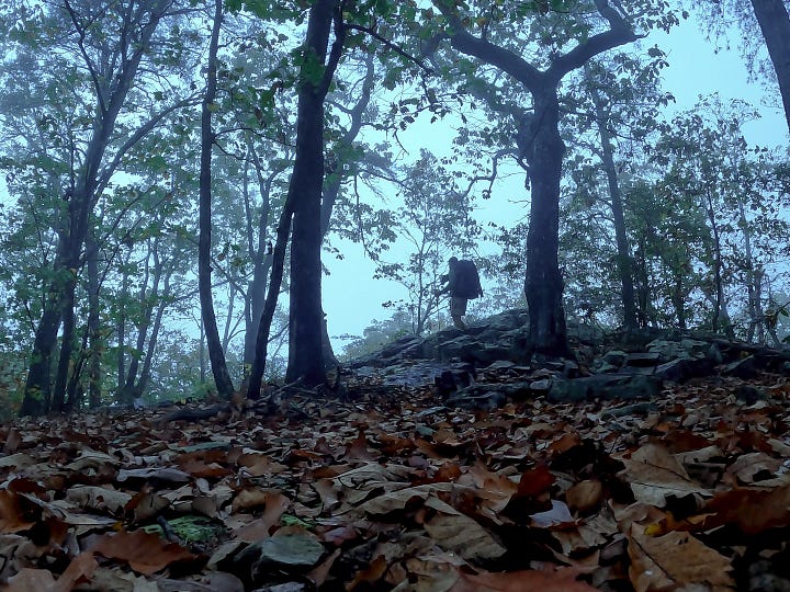
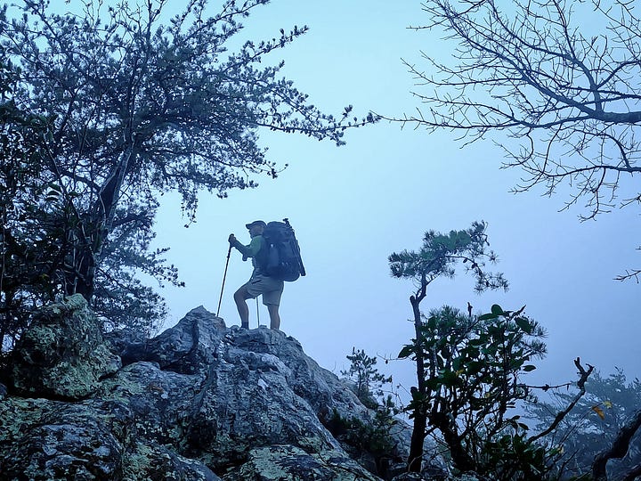
I check the nearby rock outcrops where I photographed yesterday evening. No views. Only obscure trees forms blowing the nebulous grey. I pack camp. The cloud is showing no signs of departing and it is time to move on.
Shadows have lifted enough to reveal the trail following the sharp edge of the ridge. As I walk I continually check knolls and peaks for views or any sign of a break in the clouds. The cliffs to my right appear to lead into a vacancy where the creation of the world has been left incomplete.
Descent from Heaven
The walk along the top of the ridge is not far. I reach one last cloud covered peak and then the Pinhoti Trail plummets down the cliff. This steep stretch of the trail is named the Stairway to Heaven, but as I follow the Pin-Chin-Sky Loop clockwise I find myself on a rocky descent from the white misty veil of Elysium.
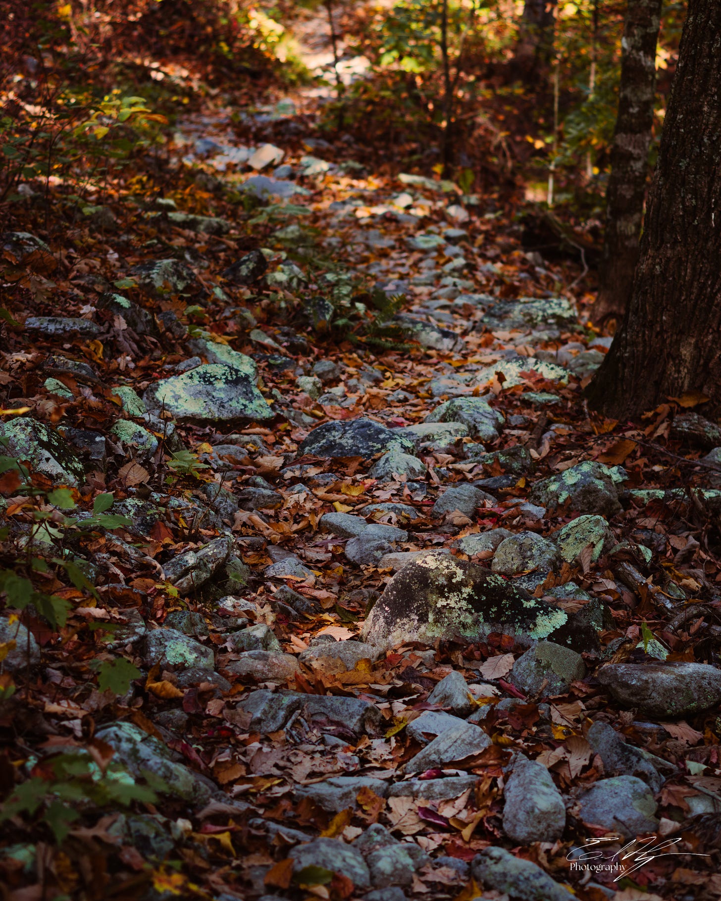
The trail is maneuvering a boulder field down a precipitous descent, but the rocks are blanketed by fallen leaves. There is no clear path through. The rocks are slick and wet. I avoid stepping directly on them, but the leaves have collected in the crevasses between them and it is impossible to tell how deep they are. Every step is guesswork as to where my foot will land.
I discover that the Pinhoti Trail is blazed with blue. Every few steps down I stop, scanning trees from near to far, looking for that next faded blue blaze. I see one, but it is 15 yards below me. I climb down to it, but still find no trail. Now I see another blaze, but it is back up above. It is a tedious progression of feet and inches.
Meanwhile, the clouds overhead begin to break. I see some blue above, and some billowing white forms of the clouds. Warm morning light filters through the forest.
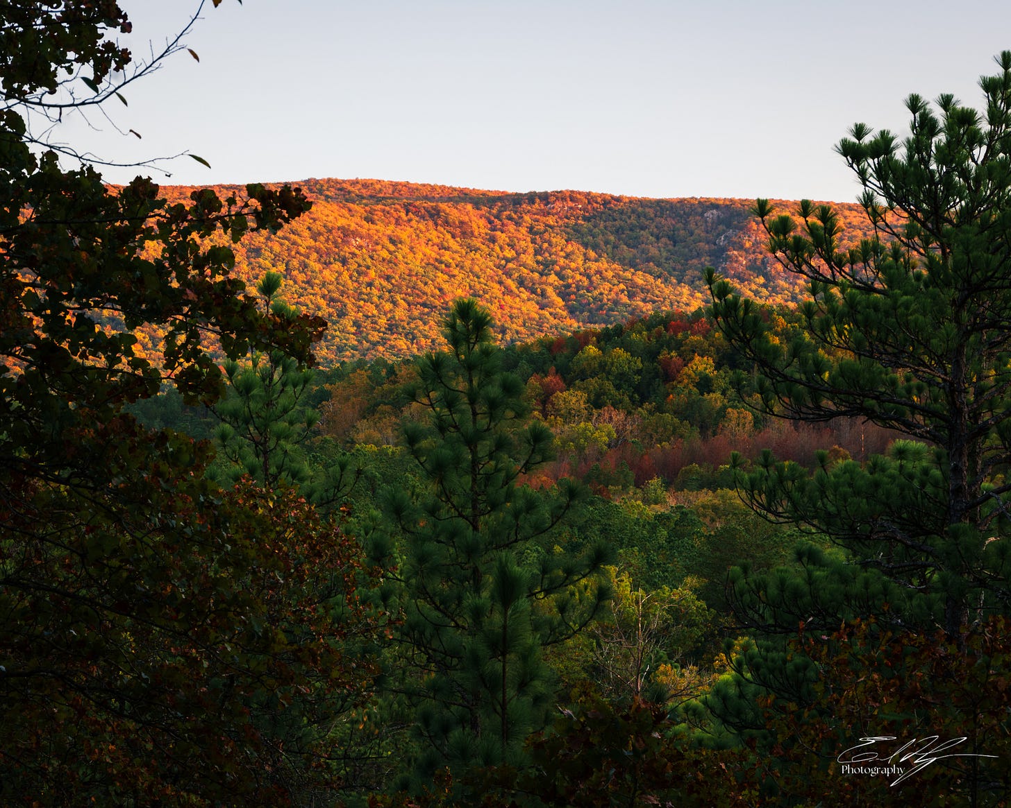
I finally reach the end of the boulders and the trail opens up. I can move faster now. The clouds overhead are rapidly clearing. In places I can see far into the distance, but only through the netted entanglement of trees. I see forested hills roll gently to the distance. I see morning light splayed across them, highlighting the warm autumn foliage. I see landscape mottled with shadows of the now broken clouds, ever so smoothly making their way across the land. It is magical. But I cannot find a good clear view of any of this through the trees.
Forest of Endless Solitude
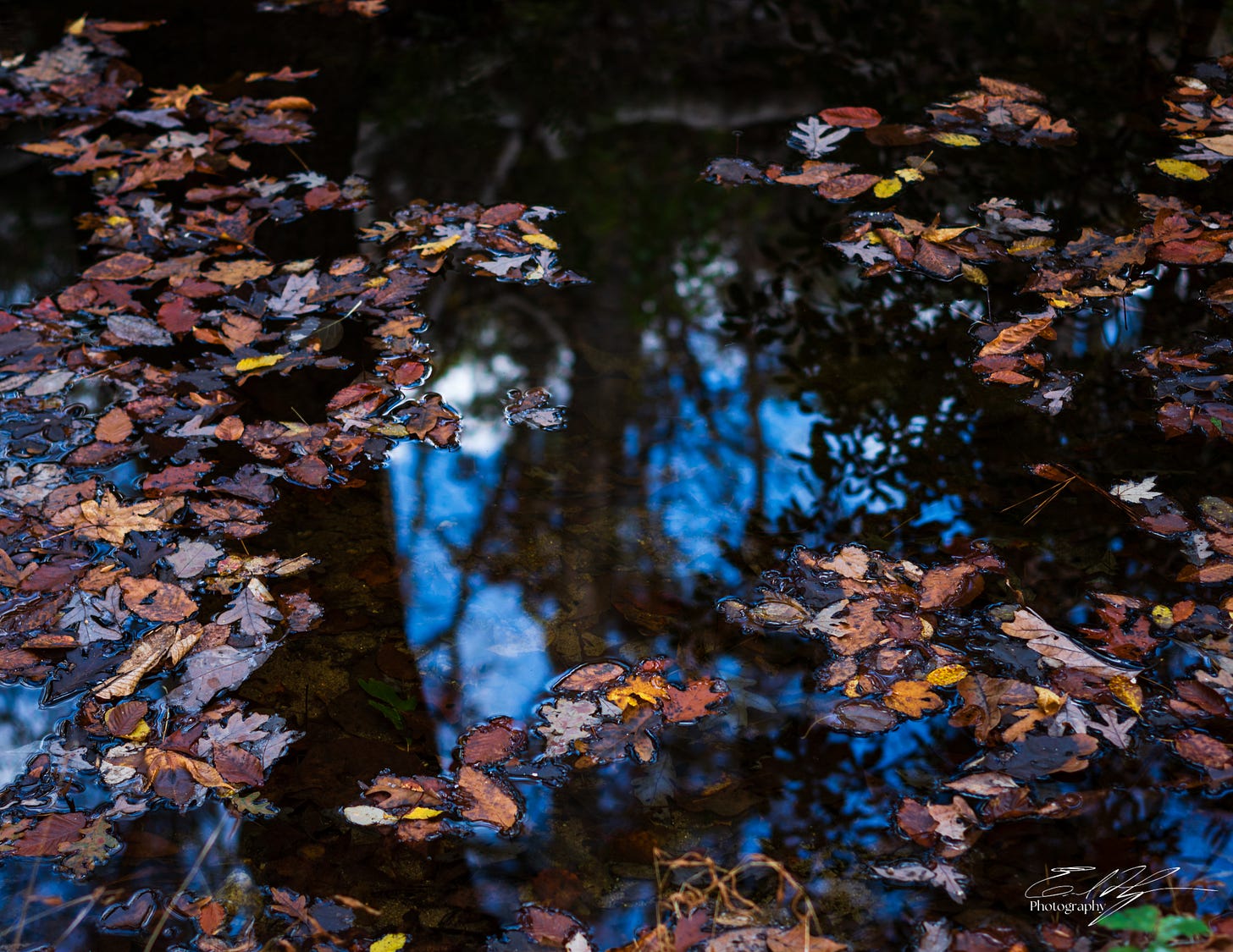
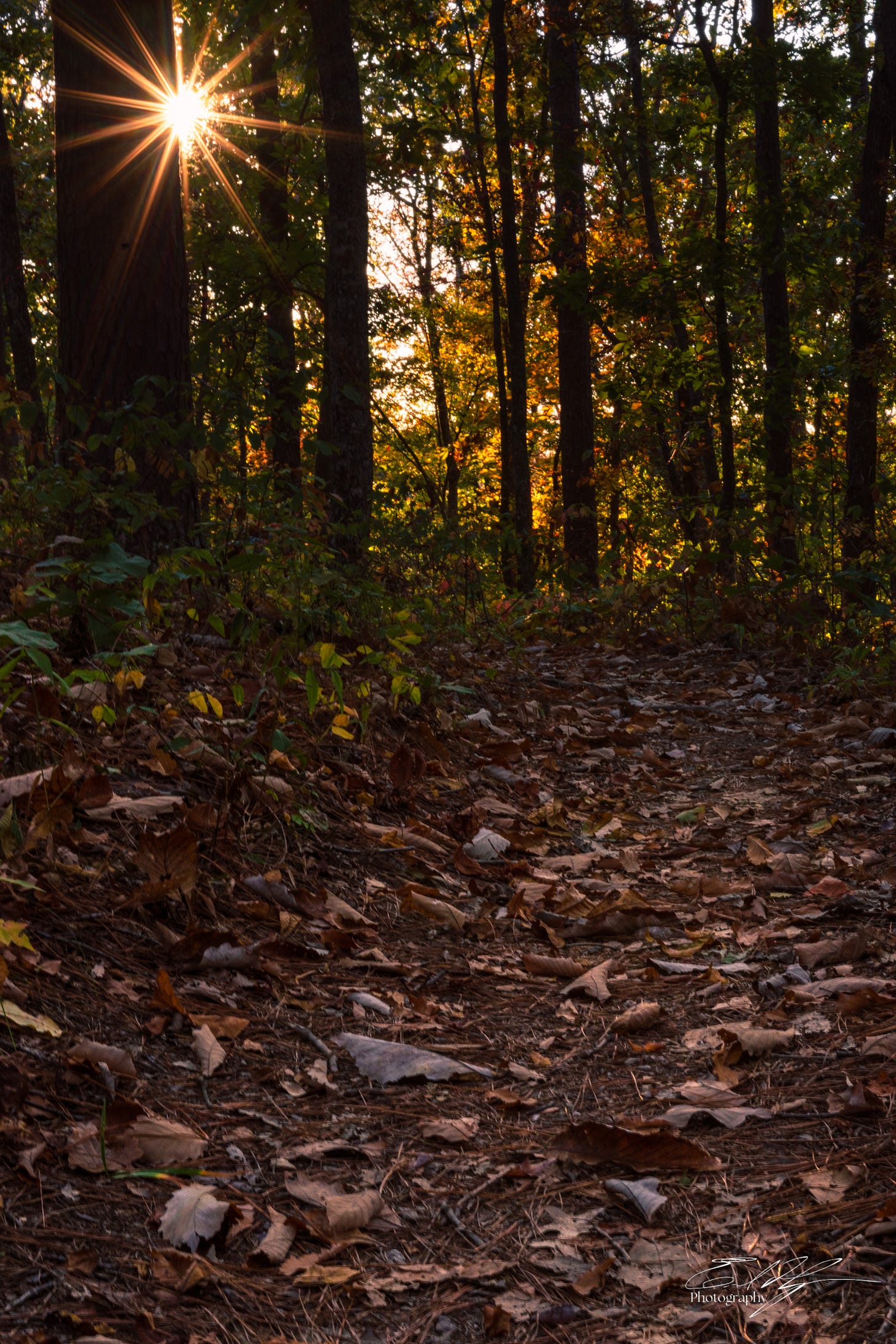
I hike on. There is nothing to do but to enjoy this hike for what it is- a secluded wandering through vivid fall foliage. Now that I am on flatter ground, out of the clouds, I find myself in a world of autumnal foliage of every range of color from yellow to orange to the brightest red. Leaves cover the ground beneath me. They still form a dense canopy above. At the brush of a breeze they fall to the earth all around as an intermittent colorful rain.
The temperature of the day rises rapidly. Its November, but a tropical storm in the Gulf of Mexico has driven in unseasonably hot air. There were no water sources on the ridge where I spent last night and I am almost out. I check the map. The upcoming segments of the trail show several small streams. The Southeast has been very dry this year and I can only hope these little creeks are flowing.
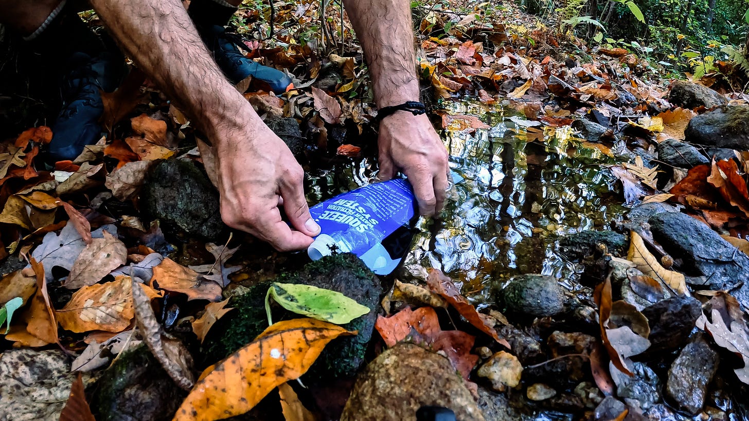
I arrive at the first stream. To say it was flowing would be generous, but there is a tiny pool of clear water that I am able to re-fill with. At mid morning I could use a short break, so I explode my pack in the middle of the trail and brew another coffee. The forest is endless in every direction. There is no hint of any other human out here.
I camel up by chugging almost a liter of water and then fill my bottle. On a hot, dry day I’ll have to keep drinking and I don’t know where the next water source will be. But I don’t want to carry the weight of it. It is a balance of needs.
I am glad I stopped where I did. Most of the other streams marked on the map are dry creek beds. The few that do have a dampness or potential for water I mark on the map for future reference.
I now move through the rolling hills I saw earlier from above. The walk is a continuous but gentle undulation of ups and downs. The climbs, though easy, leave me sweat drenched. My mildly strained calf muscle starts to bark, but I continue on, longing for views but finding none.
A roadway appears. I have only been in the forest for a day, but I stand at the edge of the woods looking at it with suspicion, like it is an unnatural intrusion into my world. This is the Skyway Mountainway that brought me to Turnipseed Campground at the start of this journey and now passes through Adam’s Gap. Not a single car passes by.
The trail picks up again on the far side of the road and parking area. As I approach I see that some trail magic awaits. Someone has left multiple jugs of water for hikers. A lizard basks in the sun on the cap of one of them. My trip is short, so I only take a little, but the water is welcome. But this gift also carries a sense of foreboding.
Not far into the forest here I come to a split in the trail. I say goodbye to the Pinhoti and start a descent down the Skyline Loop, the ‘Sky’ of the Pin-Chin-Sky.
More ravines, short ridges, and valleys sprawl ahead. The trees stand tall and the underbrush is minimal, allowing me to visualize the topography around. Something stirs near a rhododendron stand in a draw below me, too big for a squirrel. A deer springs away, white tail flashing as it bounds through the leaves over the next hill.
The terrain becomes even drier and the trail dusty. Pines become more common and the trees more scattered, allowing the sun to shine down unchecked. Large grasshoppers spring from the tall grasses along the trail side. Lizards sun themselves on rocks and roots, scrambling away as I approach.
Snakes are out. Black rat snakes. I see two. The second one waits patiently, completely still, hoping I will pass it by. I examine him closely and photograph him. Then I can’t help but gently touch his tail. The snake races away blindingly fast. He looks like a black arrow, not undulating, just streaking, and his scales sliding across the arid ground make a sound like a zipper.
Walking through the heat in the early afternoon leaves my shirt saturated with sweat. I come to a ridge top where finally, through the sparse pines, I can see some of the hills around me. Most importantly, this spot has a slight breeze. It is time for lunch.
The openness of the land around here does not look quite natural. It seems almost as if the area is recovering from having been clear cut. Only later do I find out that this part of the Talladega National Forest was clear cut a couple of decades ago in an effort to control invasive pine beetles that are killing the trees.
The trail leads me mile after mile after mile into the afternoon. It reaches a placid creek and follows it downstream. The miles are weighing heavy on me and I find myself thinking of my options for camp.
I arrive at a junction after the trail crosses Cheaha Creek. The Pin-Chin-Sky Loop turns right. However, a short trail to the left follows Cheaha Creek downstream to Chinnabee Lake. I am interested enough to check it out.
Cheaha Creek is wide and flat here, and the trail also becomes wide and flat. It dumps me out into manicured lawns at the Lake Chinnabee Recreation area. It is a day use area with a parking lot and picnic tables. An older couple sits quietly at one of these, enjoying the peace. The air carries the odor of cigarette smoke.
Lake Chinabbee lays flat and still, its banks covered in reeds. I look for only a moment and turn back to the trail and the forest ahead.
I am now back on the Chinnabee Silent Trail. A sign catches my attention as the trail leaves the day use area. In the late 1970’s this trail was created by a Boy Scout troop from The Alabama School for the Deaf and Blind. Hence, the ‘Silent Trail.’ I don’t know why, but the thought of these young men laboring to create a trail in complete silence strikes me as profound. Although I haven’t uttered a word this entire day, I still hear the world around me. Total silence is difficult to image. I walk on, grateful to hear the leaves crunching under my feet.


How to End the Day
The heat, the fatigue, the lack of photogenic views. It all has affected my mood. I am aware of that, but find myself debating what to do. It is still fairly early. The camping spots I see along Cheaha Creek are not exciting, so I look for any point of interest on the map.
It is only three miles to a shelter at Cheaha Falls. There may be another small waterfall before I get there. I don’t know what to expect from any of these, only that they must be interesting enough to have earned a mark on my map.
I think of my tent and if it will cool off enough overnight for good sleep. Not much further than the shelter is my truck at the end of the route. I could push through to reach it by early evening and be home late tonight.
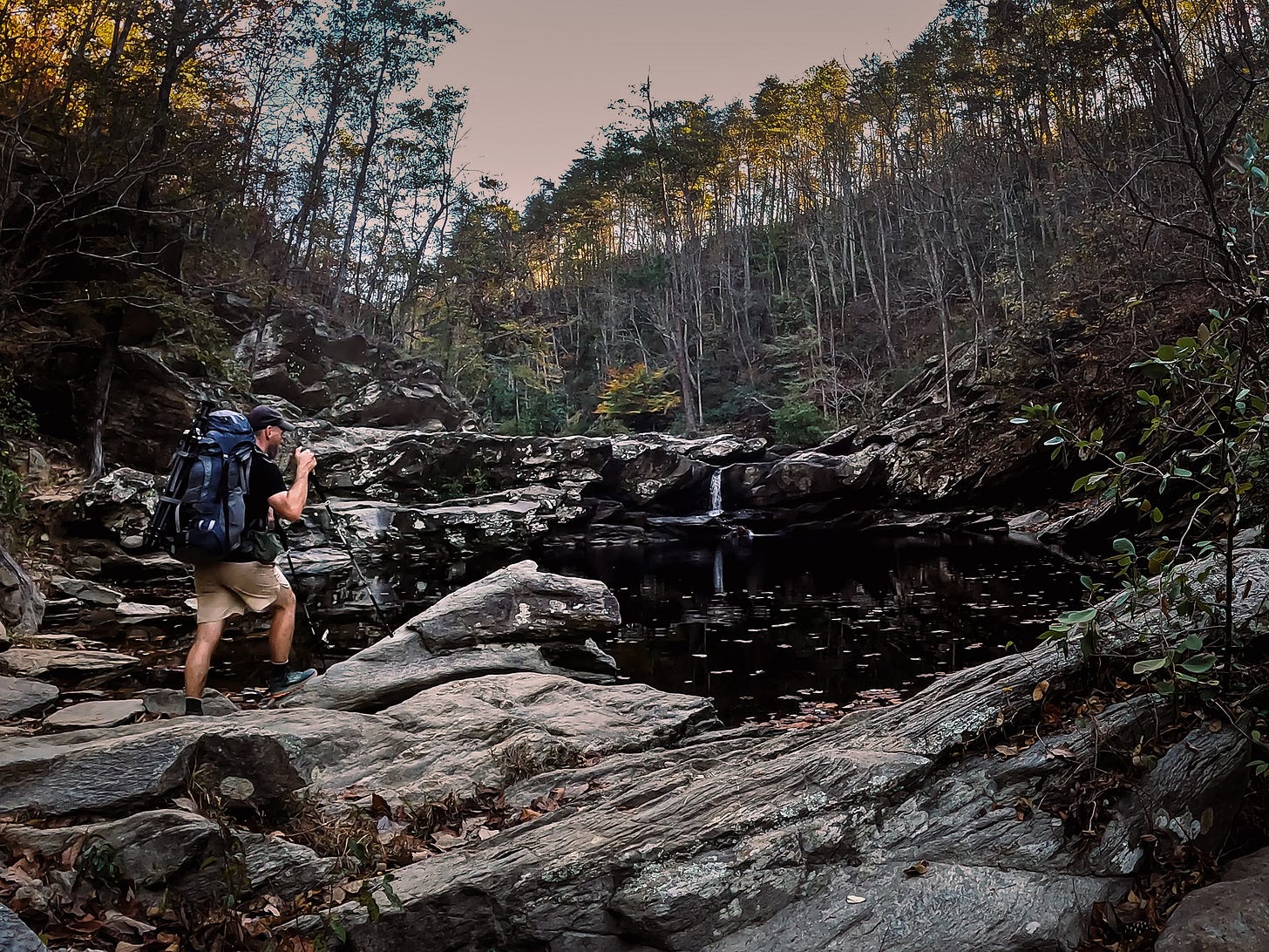
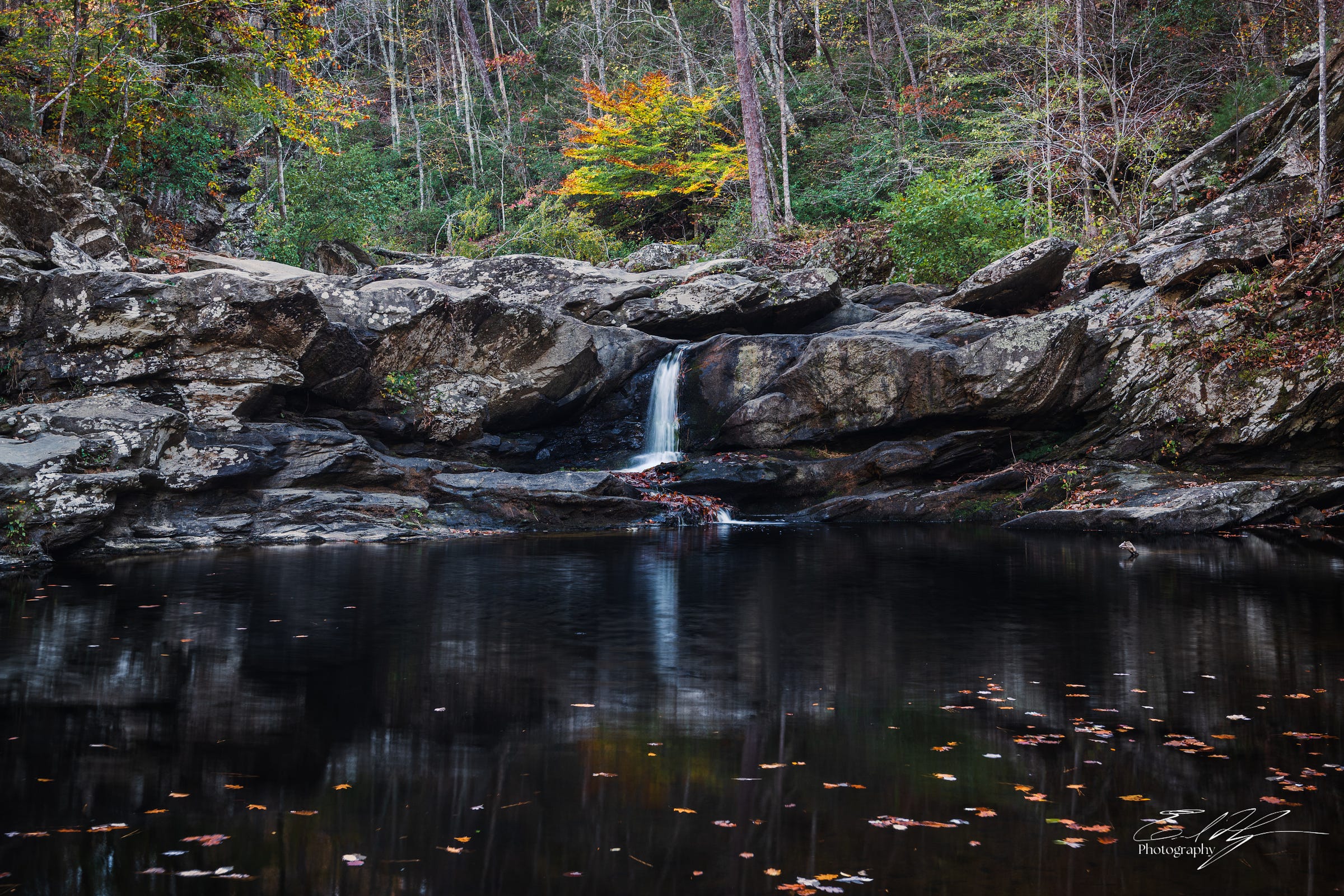
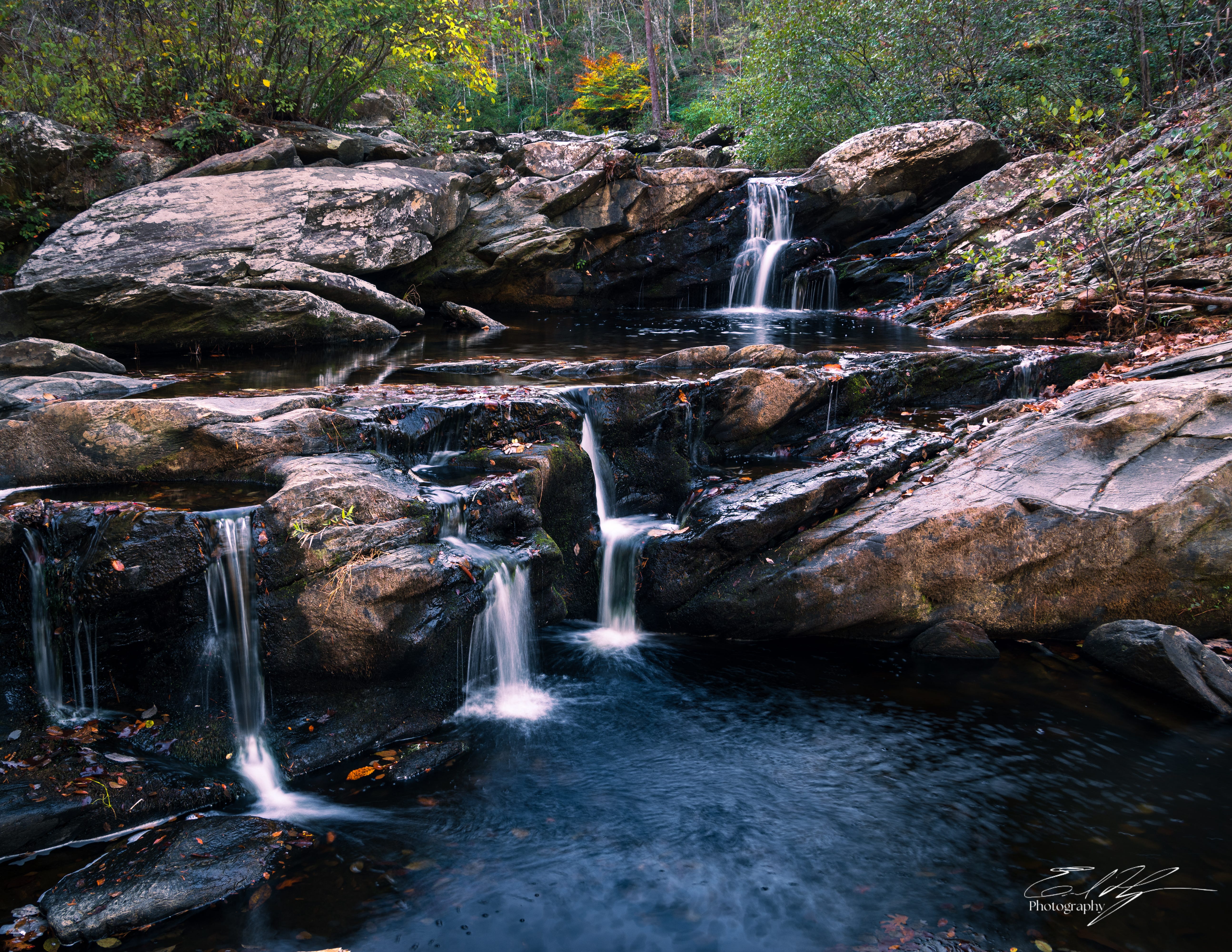
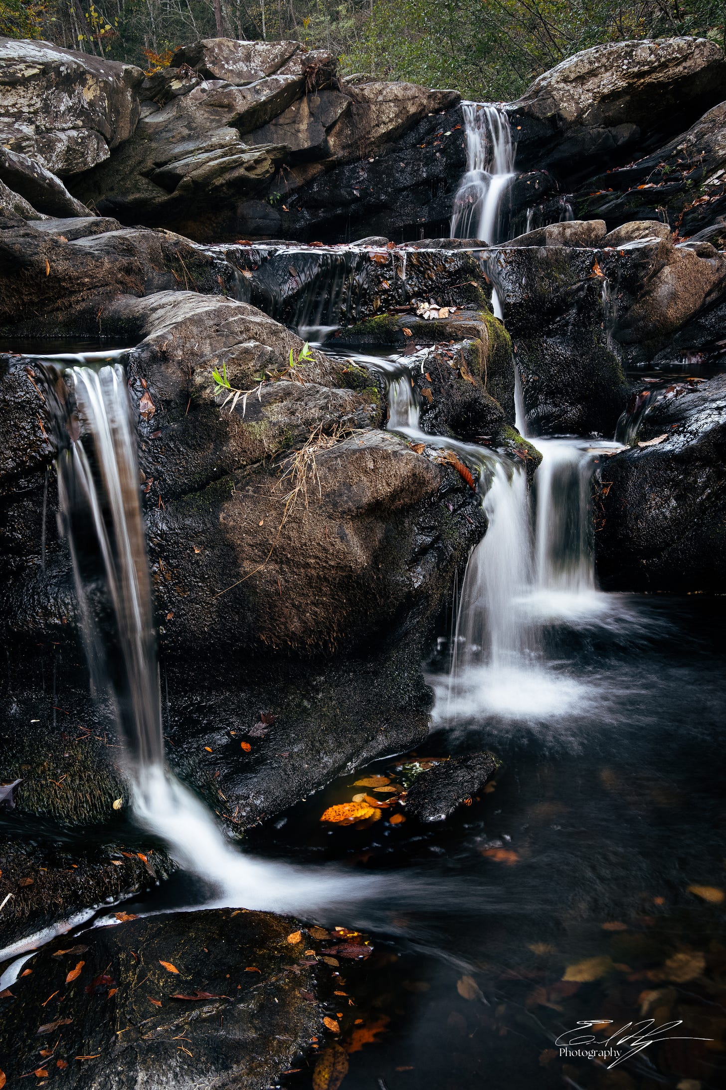
The thoughts of ending the trip fly from my head as I come upon a series of waterfalls. This rocky terraced cascade on Cheaha Creek is called Devil’s Den Falls.
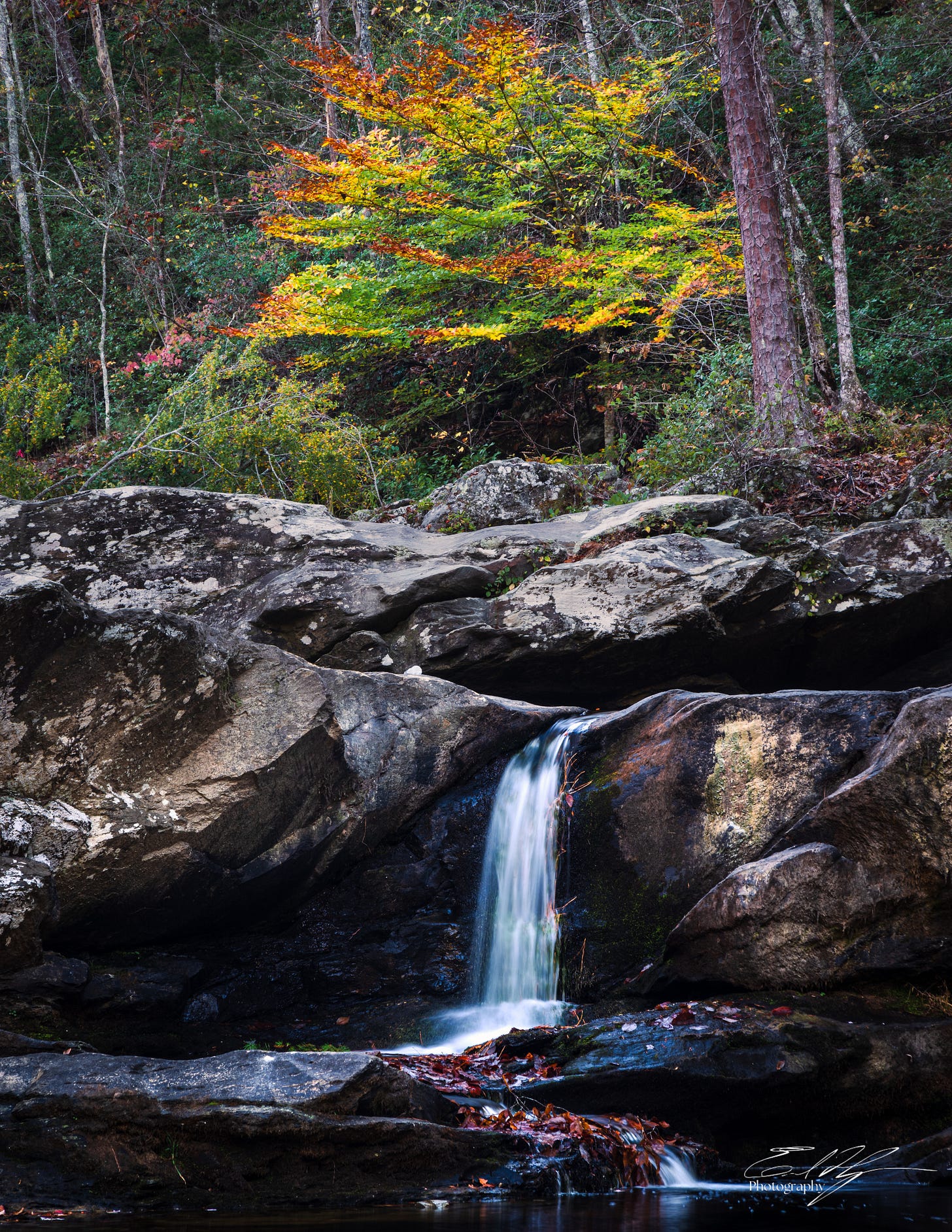
I can see that the water flow at the falls is very low. Still, the creek tumbles through the boulders and cliffs in multiple branched streams, forming dark pools before each next precipice. The top waterfall, though tiny, is capped by a vibrant yellow and orange tree perfectly lined up with its apex. I spend a long time here photographing the falls in a variety of compositions. These are the first photos to excite me today, but the small victory is enough to change my outlook as I continue on towards the shelter.
The afternoon begins to blend into early evening. Weariness is settling into a sadness. How many miles have I walked today? I haven’t counted, but I estimate 16 or 17 so far. Proximity to the end of the trail makes me think of home. I begin to think of other things I have to do. Other projects to work on. Devil’s Den Falls gifted me a feeling of openness to what lies ahead on this trail, but that feeling is waning.
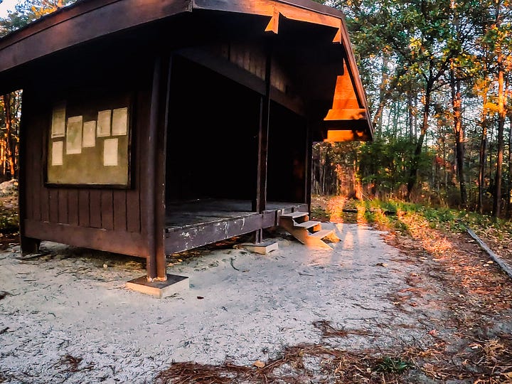
Finally, I crest a small hilltop and see a structure in the trees ahead. I have arrived at Cheaha Falls shelter. I don’t know what I imagined, but it looks small. It is a very simple three sided wooden building with a wood floor. The open side faces a small gap in the trees, presenting rows of tree covered hills in the distance.
A log book in the shelter is evidence that others visit this place. On this evening, however, I am the only one here.
This spot has convinced me to stay the night, though it is only another mile or so to the end. I drop my pack and spread my sleeping bag in a corner of the shelter.
I need water and Cheaha Falls lies just down the hill below. I make my way down and fill all of my water containers. Exploring the falls will wait for tomorrow.
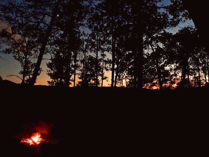
Darkness approaches early, but I expect that now. There is a fire ring by a picnic table in front of the shelter. Downed wood has been left next to it, and I take this as an invitation to build another campfire.
Camping like this feels like a luxury. I eat my dinner as night settles and listen to the soft sounds of the surrounding woods. For a while I write and reflect on the serendipity of this end to the day, but soon it is time to sleep.
So, day 2 was a long one and clearly it wore me down a bit by the end. It ended well though, and finding that shelter was a gift! Devil’s Den Falls was by far the photography highlight. Which of the compositions do you guys like the best?
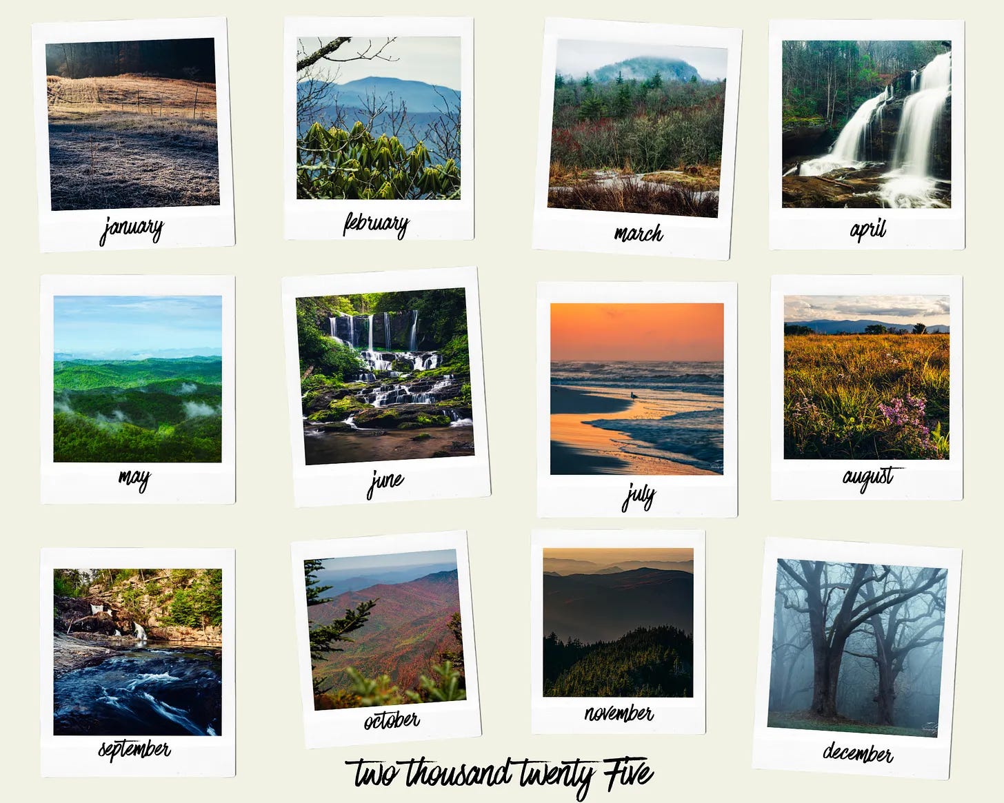
Its that time of year- we’re counting down 2024 in weeks instead of months! Time for my 2025 calendar! I chose some of my favorite images, mostly from this year, but a couple from last year, to highlight each month.
The calendar is 11x8.5 inches and wire bound. It comes in at about $25 + shipping, depending on your location. You might recognize many of these photos from past issues of Field Notes. It might also make a great gift for anyone who loves the outdoors. Any purchase goes directly to support my work and is much appreciated! Get it here-
Are you getting something out of Field Notes? Help me make it better! You can do this by sharing, subscribing, or supporting with a paid subscription.
By the way, I’m still offering this PDF ebook to any subscriber to Field Notes, but I’ve encountered a technical problem that I haven’t been able to resolve with Substack. If you can’t download it from the Welcome email you receive, just reply to the email and let me know. I’ll send you a link to it in Google Drive.











Glad to have you along Ross! That photo is one of my two favorites also!
It doesn't take much to lift our spirits when out with the camera; we just need one promising location. A lovely waterfall; no wonder you cheered up.