Pin-Chin-Sky Loop, Day 1
Field Notes II.XLVII: Backpacking and photographing the Talladega National Forest and Cheaha Wilderness in Alabama
Welcome to Field Notes!
Looking West
I never think of Alabama when considering explorations of the wild. My interests always seem to call me north to the highest peaks of Appalachia. When I do think of that state I envision farmland, or maybe forests, but not of wilderness. Alabama does have its own natural wonders, though, and the Appalachian Mountains wane to their southern terminus there.
Autumn this year has been idiosyncratic. Echoes of Hurricane Helene still reverberate throughout the Southeastern US. The storm left me unable to visit some of my most beloved locations and I scan the map for areas that avoided its destruction. November finds me looking west to Alabama.
I learn of a route in the Talladega National Forest and Cheaha Wilderness in Eastern Alabama named the Pin-Chin-Sky Loop. It is a short loop at less than 20 miles, but I have to drive almost across the entire state of Georgia to get there. I can stretch this into a three day trip of two shorter hiking days sandwiched around a longer day in the middle.
The name Pin-Chin-Sky is derived from the names of three separate trails, sections of which combine to make this loop. The most recommended route is on the Pinhoti Trail from Adams Gap to the Chinnabee Silent Trail and then connecting to the Skyway Loop. Adams Gap is a slightly longer drive, though. I opt to start at Turnipseed Campground at the northernmost point of the loop. From there, traveling clockwise, the Chinnabee Silent Trail leads to the Pinhoti and then to the Skyway. My hike will be the Chin-Pin-Sky loop.
Silent Trail, Hidden Gem
The highway miles roll by in nondescript monotony. That is, until I turn south onto Hwy 281, the Skyway Mountainway. This almost deserted two lane road flows gracefully through the undulating hills of the Talladega National Forest, offering occasional turnouts for views across the rolling forested landscape.
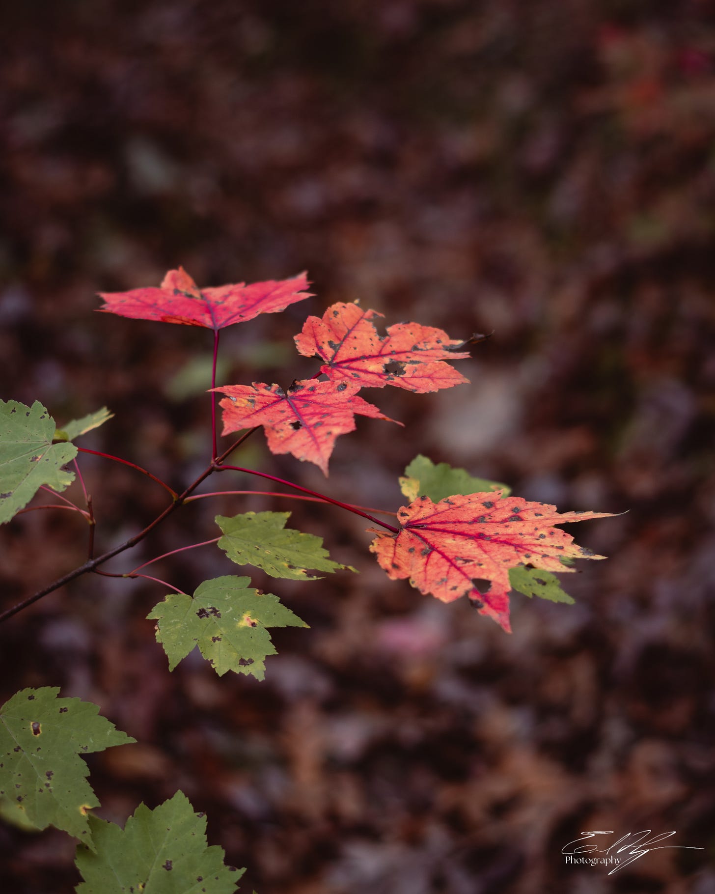
Peak leaf color in this region comes slightly later than at higher elevations in the mountains to the north. It is now almost mid November, but I wonder if hurricane weather has thrown off the timing. Brilliant reds, yellows, and oranges speckle the forests with autumnal warmth, yet there is still plenty of green amongst the trees not even hinting at a change.
A couple of hikers are returning to their car just as I pull into the parking lot at Turnipseed Campground. They leave me in solitude to eat a lunch at my truck before the start. Another tropical storm swirls in the Gulf of Mexico. It shouldn’t bring severe weather, but has pushed unseasonably hot air into the area. The scenery is quintessentially fall, but it feels almost like summer. I get my bearings, hoist my pack, and step off into the forest on the Chinnabee Silent Trail.
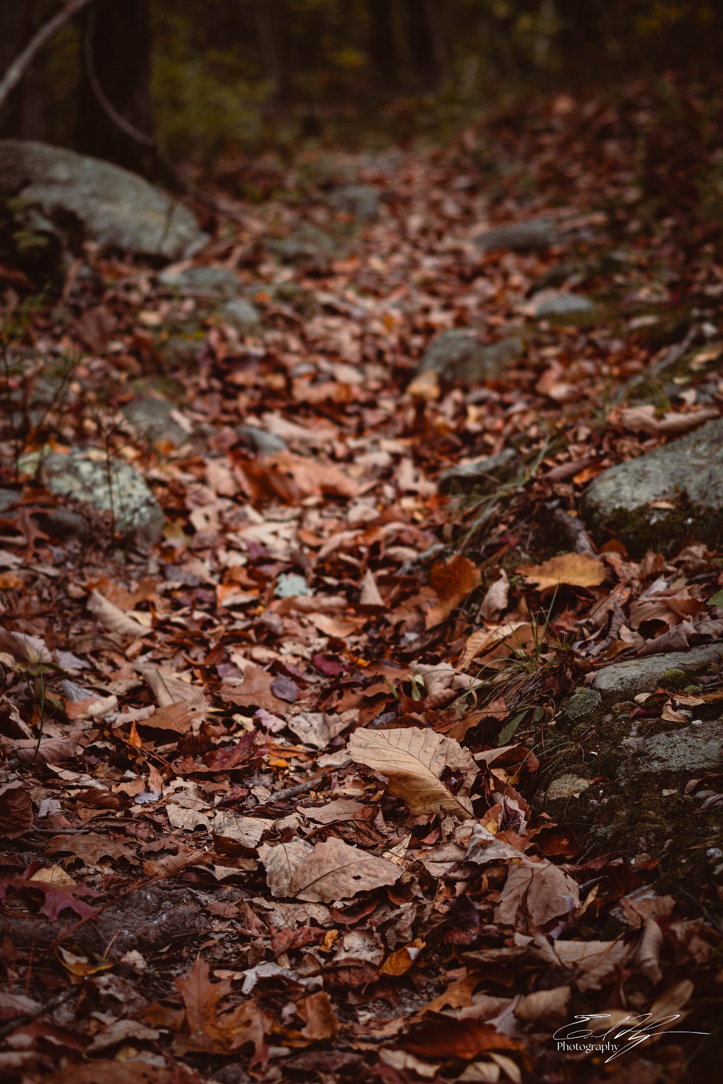
Dry fallen leaves of copper and bronze crunch rhythmically underfoot as I walk. The path is easy, at least here in the beginning. Today’s route is a short two to three miles to the top of a sharp mountain ridge. Hopefully somewhere up there I can find a camping spot with some views.
The crunching underfoot continues as my mind churns questions while I walk. Why is this named the Chinnabee “Silent Trail?” I didn’t research that before coming here, but now I wonder. I see no other hikers and there are no human voices in this wild. I hear no birds. No chattering of squirrels or chipmunks. Vibrant forests of oak and hickory surround me, but the noises of any other living creature are absent on the Silent Trail. As the elevation begins to climb the only sounds are the wind in the treetops, the breath rushing into my lungs, and the constant cadence of crunching leaves.
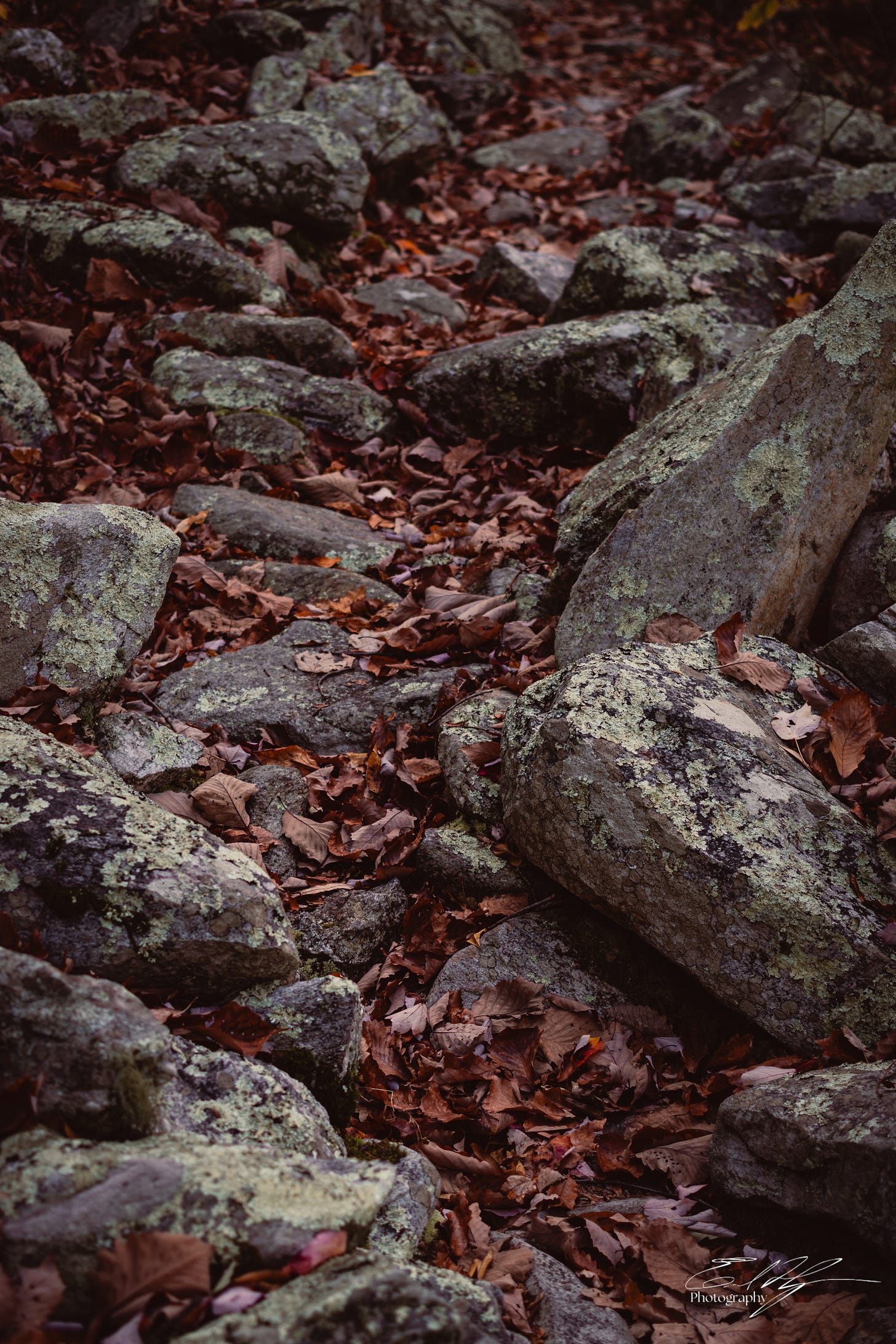
Soon I reach the ascent of the ridge and the elevation rises rapidly. I sweat steadily in the unseasonable afternoon heat. The trail meanders through boulder fields, forming stairways and lanes of stone.
Green lichen decorating the grey rock stands in sharp contrast to the brown blanket of fallen oak leaves that covers them. The colors are captivating, and stretch as far as I can see in these woods that are remarkably open and free of undergrowth.
In many stretches there are so many fallen leaves on the ground that the trail becomes hard to follow. I have seen no blazes on the trees so far. Though the forest is dense and I have yet to find any viewpoints, the Cheaha Wilderness is pristine and replete with solitude.
The trail becomes a metaphor. While it is hidden in the leaves underfoot, it is a hidden treasure of autumn glory to behold. It is hidden in plain view, simply because I have never before considered backpacking in Alabama.
Search for a View
I reach the apex of the ridge line at a flat saddle between two peaks and stop to catch my breath. This is a junction of trails. The Chinnabee Silent Trail ends here as it meets the Pinhoti Trail.
Although only late afternoon, the shadows are growing notably darker. It causes me to wonder. The daylight savings time change has occurred, and I know darkness comes earlier now. But, Alabama lies in another time zone, 1 hour earlier that I am used to. How is the earlier darkness of the time change affected by the change of time zone? I have no idea, but evening seems to be approaching very early.
I also grow slightly concerned over the lack of views. While the forests are beautiful, they are difficult to photograph. I intended this trip to be a photography focused adventure. So, I consult the map.
My route has me following the Pihoti Trail southwest from this point, with potential views to the northwest. The other side of this ridge, though, looks pretty steep on the map, and the views would be to the southeast with the possibility of seeing the sunrise in the morning.
I decide to follow the Odum Trail south to check out that other side of the ridge. The hike over there is close to a mile, but it is mostly flat. More fall forests abound. I reach the drop off at the far side and find boulder covered hilltops to the north and south. The tree cover is thick even on the hilltops and I cannot find a vantage point. Back to the Pinhoti Trail.
The Pinhoti Trail contours along the edge of the ridge. The earth drops away sharply to my right in places, but even so the trees block most of the vistas. I scramble through underbrush to several rocky prominences with no success. Darkness is approaching, but all I can do is continue down the trail and hope.
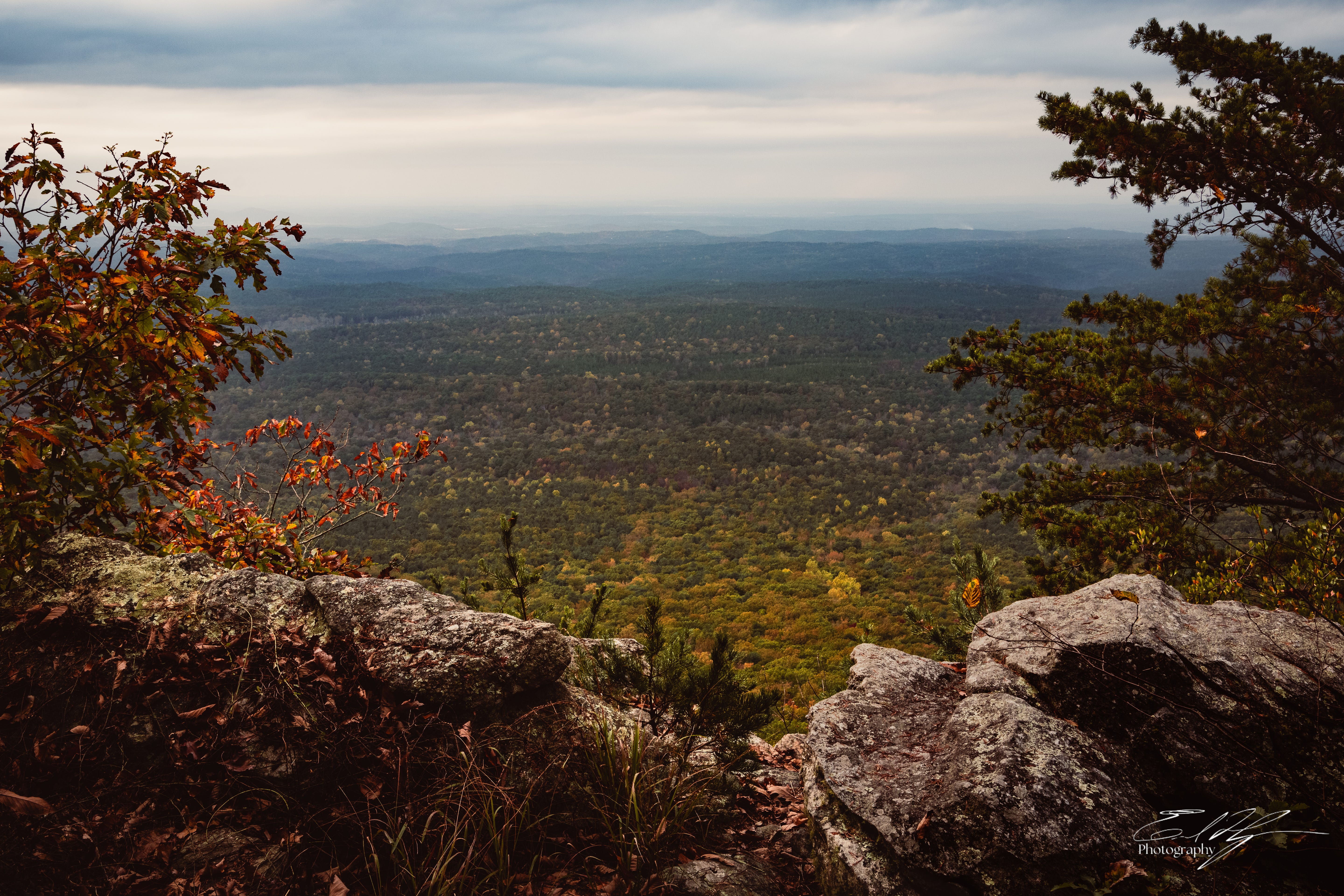
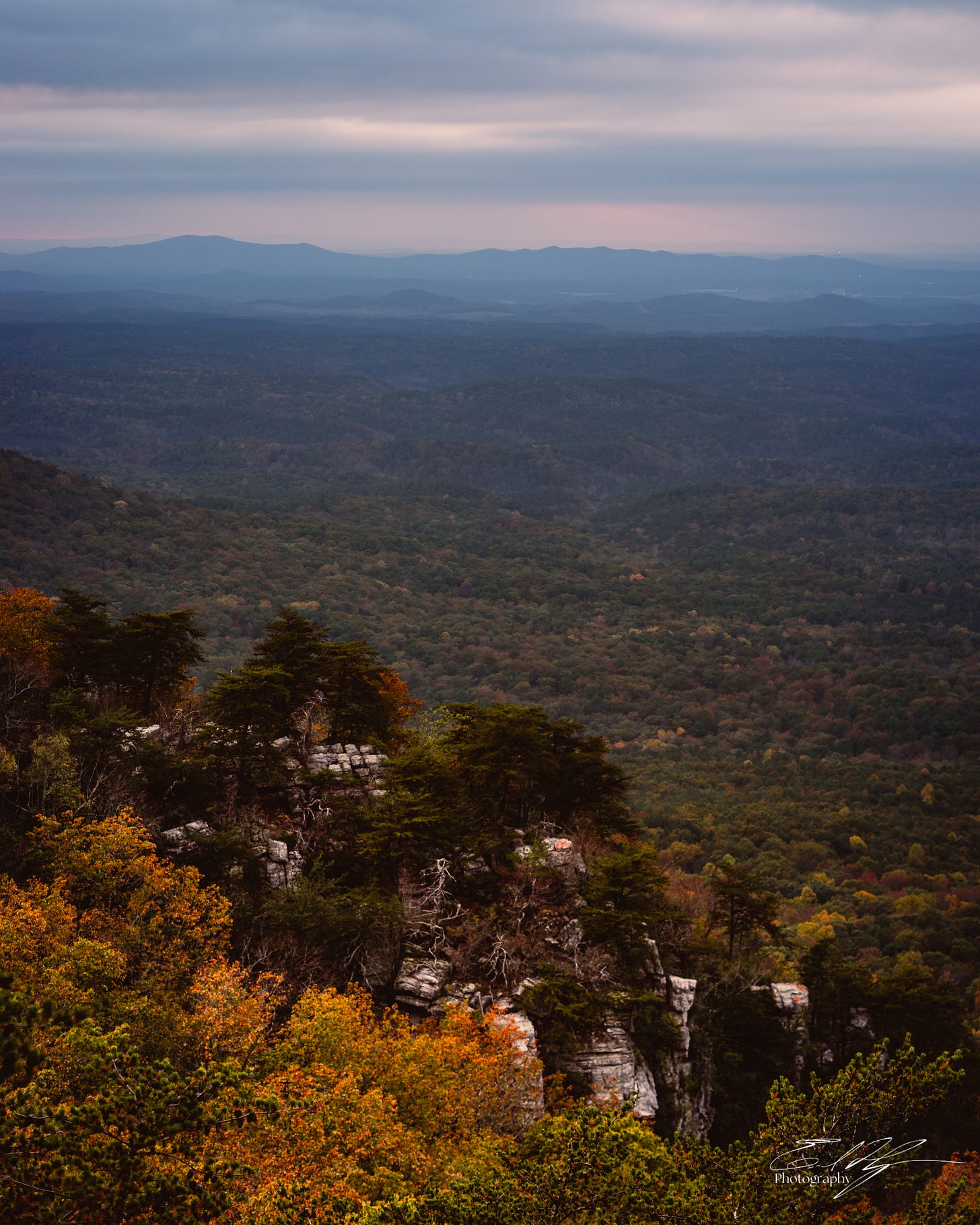
At last I reach a spot where the tree canopy parts around a stony cliff face. The land below trundles gently into the distance under a patchwork of muted colors below the now overcast skies. I cannot tell if I am breathless from exertion or in awe at the vast expanse of nature below.
The direction of the view here isn’t ideal for either sunset or sunrise, but I won’t be greedy. There is no telling if anything better lies ahead. A short distance away is a fantastic spot for camp and I quickly set up my home for the night.
I return to the rocks. It is only about 5 pm, but daylight is fading fast. I scramble across the boulders, looking for views and photo compositions up and down the ridge. The footing is treacherous and in several spots I have to leave my tripod behind and shoot hand held.
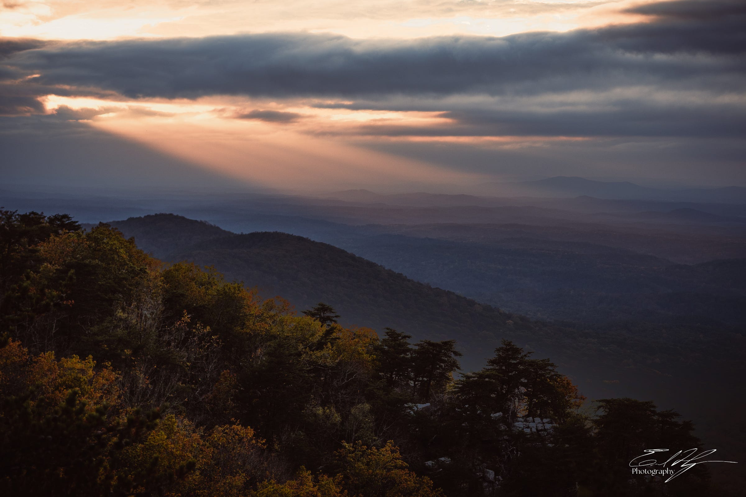
The sun descends and the skies behind the clouds glow orange. At the edge of my perspective, nearly blocked by the angle of the mountains I sit atop, I see a gap opening in the clouds. Waning sunlight spills through onto the hills in the distance.
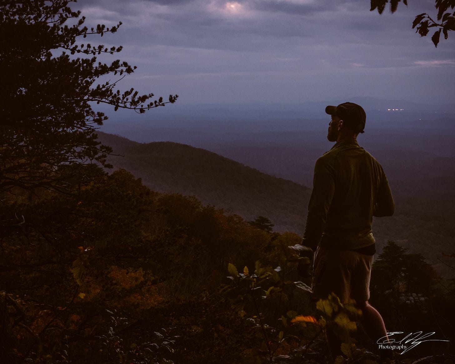
I scramble, clutching small trees, cautiously making my way to a protruding boulder with a better view. The scene is incomparably sublime. I capture a photo, but then stand in silence and simply watch the progression of light.
A stark contrast becomes apparent. I stand here on this peak entirely alone. As far as I can see in the distance here, no other evidence of mankind is visible. This is the natural world I that I seek out, and I feel a pervasive connection to it. Nature has shaped me into the person I am now and continues to do so, but I also feel that I am an intrinsic part of this natural world. We are not separate. Nature is everywhere, so perhaps I am never alone.
It is dark when I finally retreat back to my camp. A pre-existing fire ring with downed wood nearby invites me to build a campfire. I begin to arrange kindling and break small twigs for the fire when I hear something in the darkness of the forest. A female voice. Then another.
Headlamps cut the darkness on the trail to the south. Two cheerful young women approach, slackpacking and excited to see another backpacker along the trail. One of them is thru hiking the Pinhoti Trail, which stretches for 335 miles from Flagg Mountain in Alabama to North Georgia, where it ends at the Benton Mackaye Trail. Her friend is hiking this section with her, but could not take the time off of work to do the entire trail.
The ladies still have 6 miles of hiking ahead of them today to reach Cheaha State Park. It is not late, but it is dark. I warn them of the lack of water I had found so far and that I hadn’t seen any trail blazes. They don’t seem too concerned, though, and soon walk off into the night.
I sit by my campfire for a while, eating dinner and listening to the growing blustery wind in the treetops. The day has been long and I am exhausted. Zipping into my tent and crawling into my sleeping bag brings a wash of comfort, both physical and mental. I immediately succumb to sleep.
Haha! Lesson learned! There are interesting things in Alabama! Have any of you hiked the Pinhoti Trail? Its a longish thru hike I hope to do at some point. I’d like to hear some experiences of it. This was a great evening on the ridge top! Will the rest of this trip match up? There’s more to come next week!
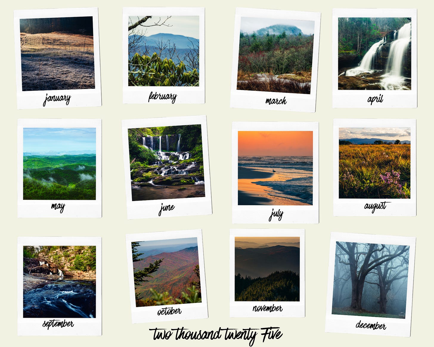
Its that time of year- we’re counting down 2024 in weeks instead of months! Time for my 2025 calendar! I chose some of my favorite images, mostly from this year, but a couple from last year, to highlight each month.
The calendar is 11x8.5 inches and wire bound. It comes in at about $25 + shipping, depending on your location. You might recognize many of these photos from past issues of Field Notes. It might also make a great gift for anyone who loves the outdoors. Any purchase goes directly to support my work and is much appreciated! Get it here-
Are you getting something out of Field Notes? Help me make it better! You can do this by sharing, subscribing, or supporting with a paid subscription.
By the way, I’m still offering this PDF ebook to any subscriber to Field Notes, but I’ve encountered a technical problem that I haven’t been able to resolve with Substack. If you can’t download it from the Welcome email you receive, just reply to the email and let me know. I’ll send you a link to it in Google Drive.










'The crunching underfoot continues as my mind churns questions while I walk. Why is this named the Chinnabee “Silent Trail?”' I had just thought...I wonder why it's called the Silent Trail, lol
Great story and photos Erik. I have certainly felt that frustration of not being able to find a nice view, especially when the light is starting to look good. Who put all those trees there?!