Woodlands and Water: Distance and Grit
Field Notes II.XXI: Day 2 of a backpacking and photography thru hike of the 76 mile Foothills Trail in South Carolina
Welcome to Field Notes!
This is part II of a five part series about thru hiking the Foothills Trail in South Carolina in early May, 2024. Start reading from the beginning here-
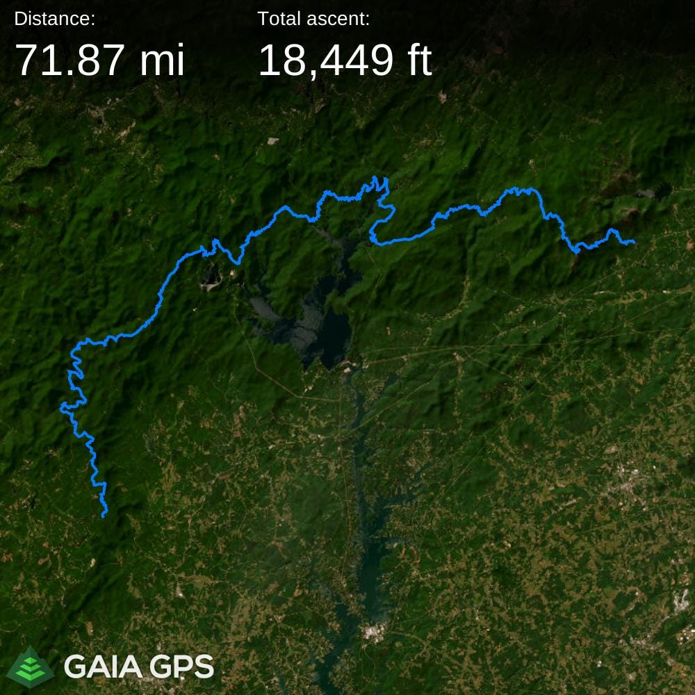
Click the image below if you’re interested in exploring the route in Gaia GPS. Note that Gaia lists the distance as just under 72 miles, while the official signs on the trail list it at 76 miles. With the short side trips I took and the back and forth for filming along the way, I’m claiming 76!
At the bottom of these posts you will find a link to a gallery of photos from this adventure so far, and I have now added these photos from Day 2.
Steam rises from the cup in my hand. The aroma of coffee fills the darkness, well before sunrise. The Chattooga River, here wide and flat, utters the low roar of constantly moving water. My eyes grow accustomed to the lack of light as I keep my headlamp off to save battery. On the far shore of the river a branch rhythmically bobs in the dark waters. I sip and watch.
Aches pulled me out of sleep too early. I tossed on my sleeping pad and tried to go back under. It didn’t last long. At 4:45 am I was awake. So, I retrieved my food bag suspended from a limb a safe height above any bears. It was undisturbed. Now, I enjoy the morning coffee ritual.
Every joint in my lower half protests movement after yesterday’s exertion of covering 15 miles over rough trail in half a day. I manually massage my calves to prepare them. My feet are swollen and complain as I slide them into my shoes. The first bird of the morning calls nearby. Then another. The approaching dawn brings lightness to the sky. Shadows along the river bank fade and the forest grows more defined. Time to start packing up camp.
The Foothills Trail unfolds under overcast skies and it is light enough to walk without a headlamp. 61 miles to go. An intermittent drizzle settles through the tree canopy. The vegetation is thriving and the abundant new growth radiates green, even in the dimness. Dogbane and yellowroot line the edge of the path, gently brushing my legs as I walk. Somehow my pack feels heavier than yesterday.
I soon reach the side trail to King’s Creek Falls with a sign indicating it is 0.3 miles. That’s significant, considering the number is doubled by the return trip. It one of my designated photography destination, though. I will not bypass it.
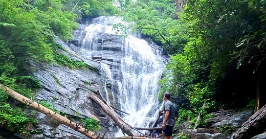
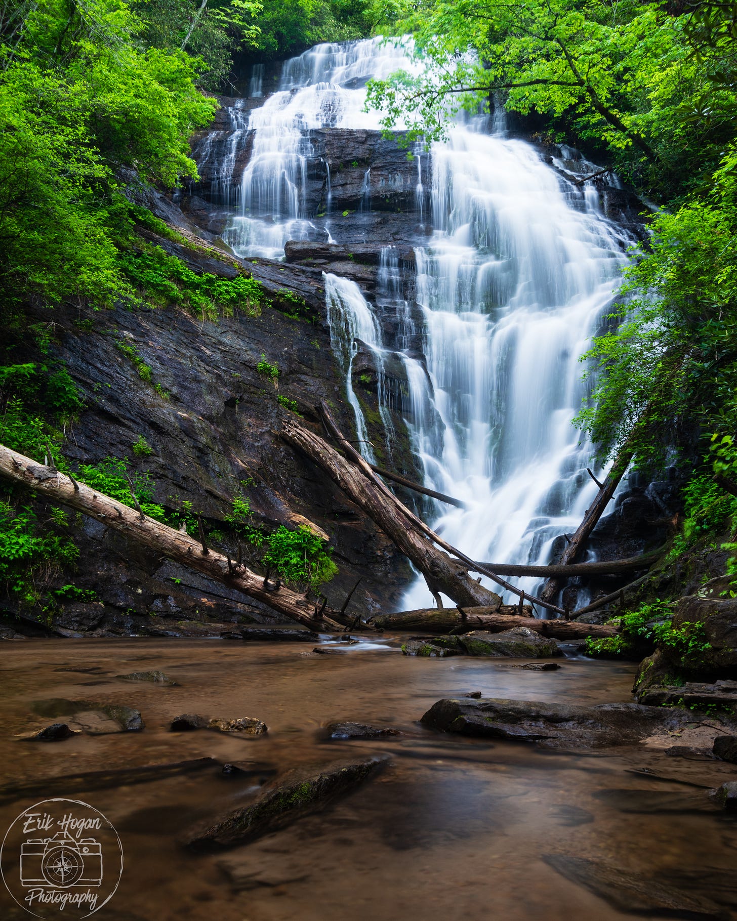
The spur trail positions me amongst an aggregate of boulders at the edge of a shallow pool. Kings Creek Falls plunges over an imposing rock cliff to cascade into the far side of this pool. Multiple fallen trees criss cross the base of the waterfall, evidence of past storm surges. I photograph the falls from the boulder strewn shore. A light rain begins to fall so I wait and make a second coffee under the shelter of a rhododendron overhang and listen to the raindrops on leaves, overlaid on the thunder of the falls.
The trail continues on and I must follow. Stiff joints become more fluid with the continued motion of walking. I am shocked by the sudden realization that one of the days of this trek is already behind me. Four more days still lay ahead, but I don’t spend time considering the future beyond today. I expect this to be the highest mileage day. It will be a grind, but I console myself with the knowledge that I have the whole day to hike. My pace isn’t rushed, but I try to minimize any delays.
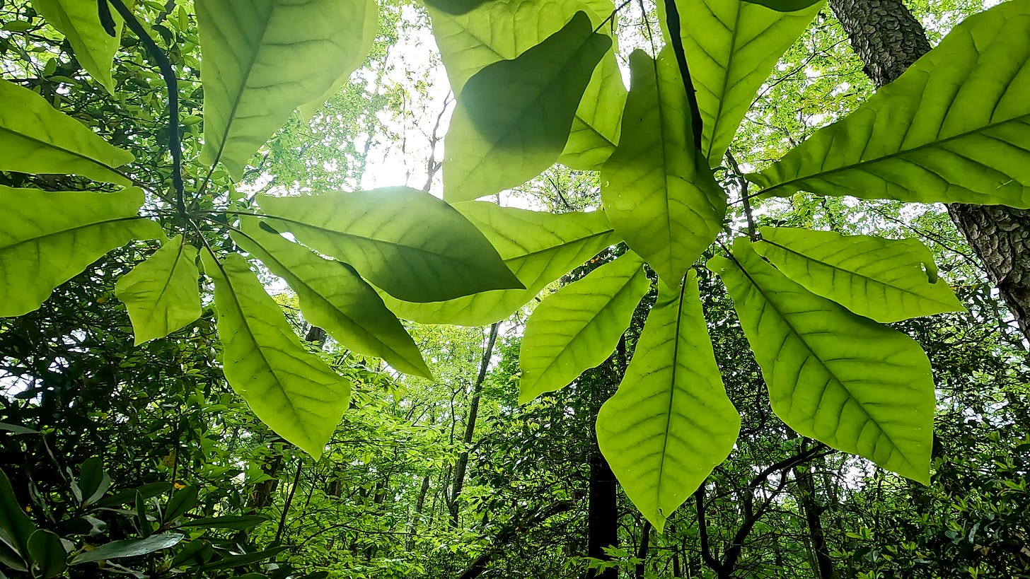
The warm, humid air and sporadic rain elicits an intensity of green from the surrounding forest. Fraser magnolias celebrate the moisture with lush growth reaching for the sky, and protect me from the falling drizzle as they do so. The cloud cover, however, is blocking my GPS signal.
Progress slows while I climb elevation towards Medlin Mountain as the trail skirts the southern boundary of the Ellicott Rock Wilderness. A drier stretch unfolds at the top of the ridge line and my pace quickens. My mind becomes lost in the mantra of footsteps on the soft dirt path. I search my map for a way point called Fish Camp, only to realize that I have blown passed it.
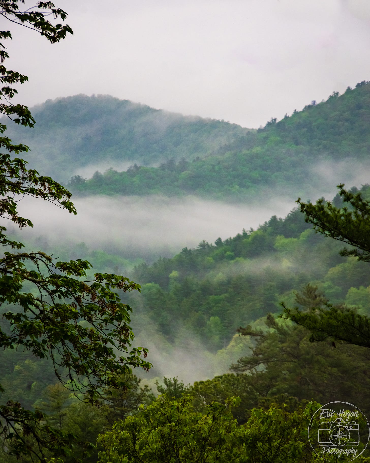
There are only a couple of viewpoints not obscured by tree cover and foliage. The first comes as a chance gap in the trees revealing the mist covered layered hills that make up this bumpy topography. Not wanting to spend time, I photograph the scene hand held and keep moving.
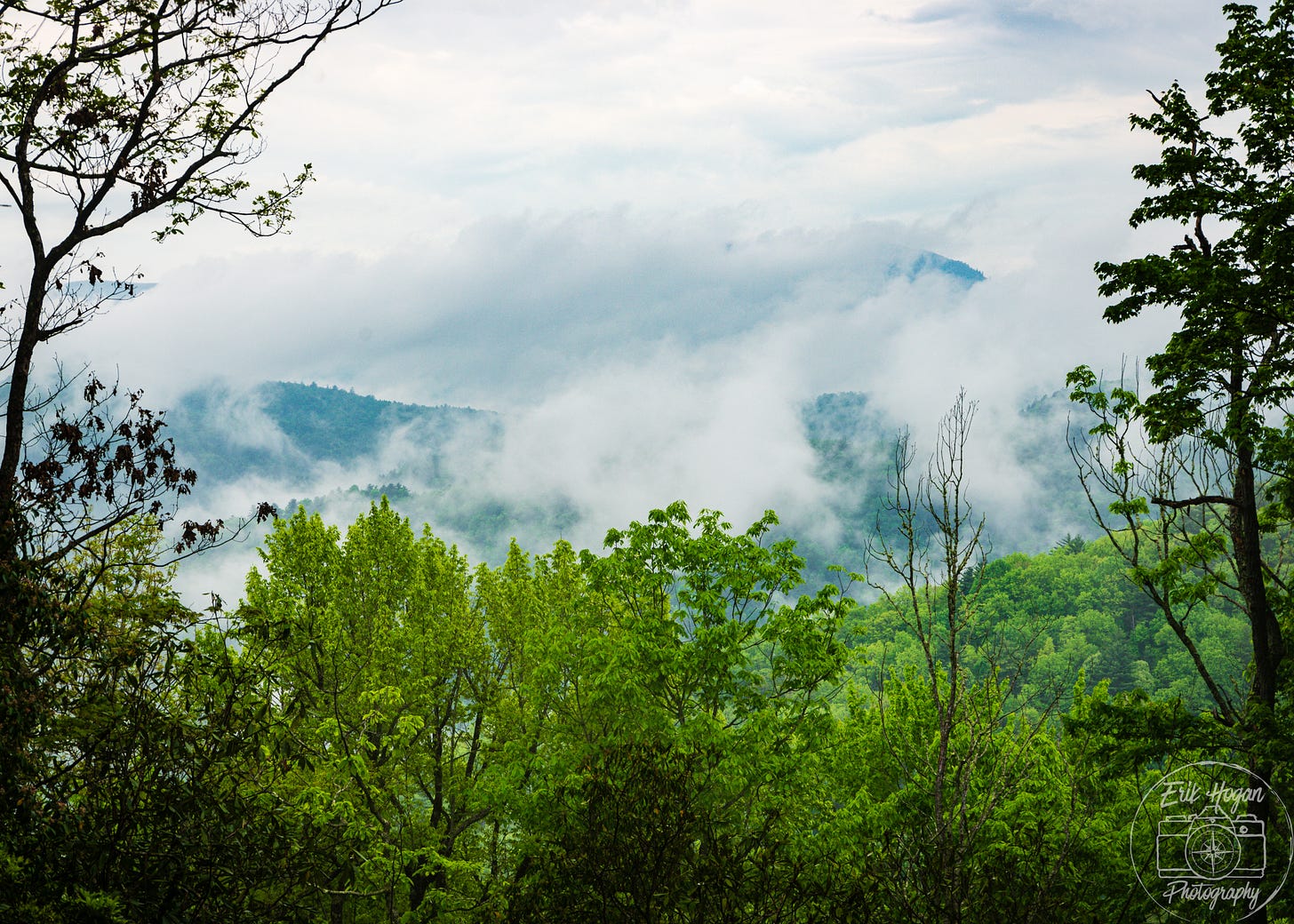
The second vantage point has its own sign, labeling it “Whiteside Mountain View.” Whiteside Mountain is hidden behind a curtain of white cloud. I pause to set my tripod, but stop only momentarily. These clouds are slow moving and not likely to clear anytime soon.
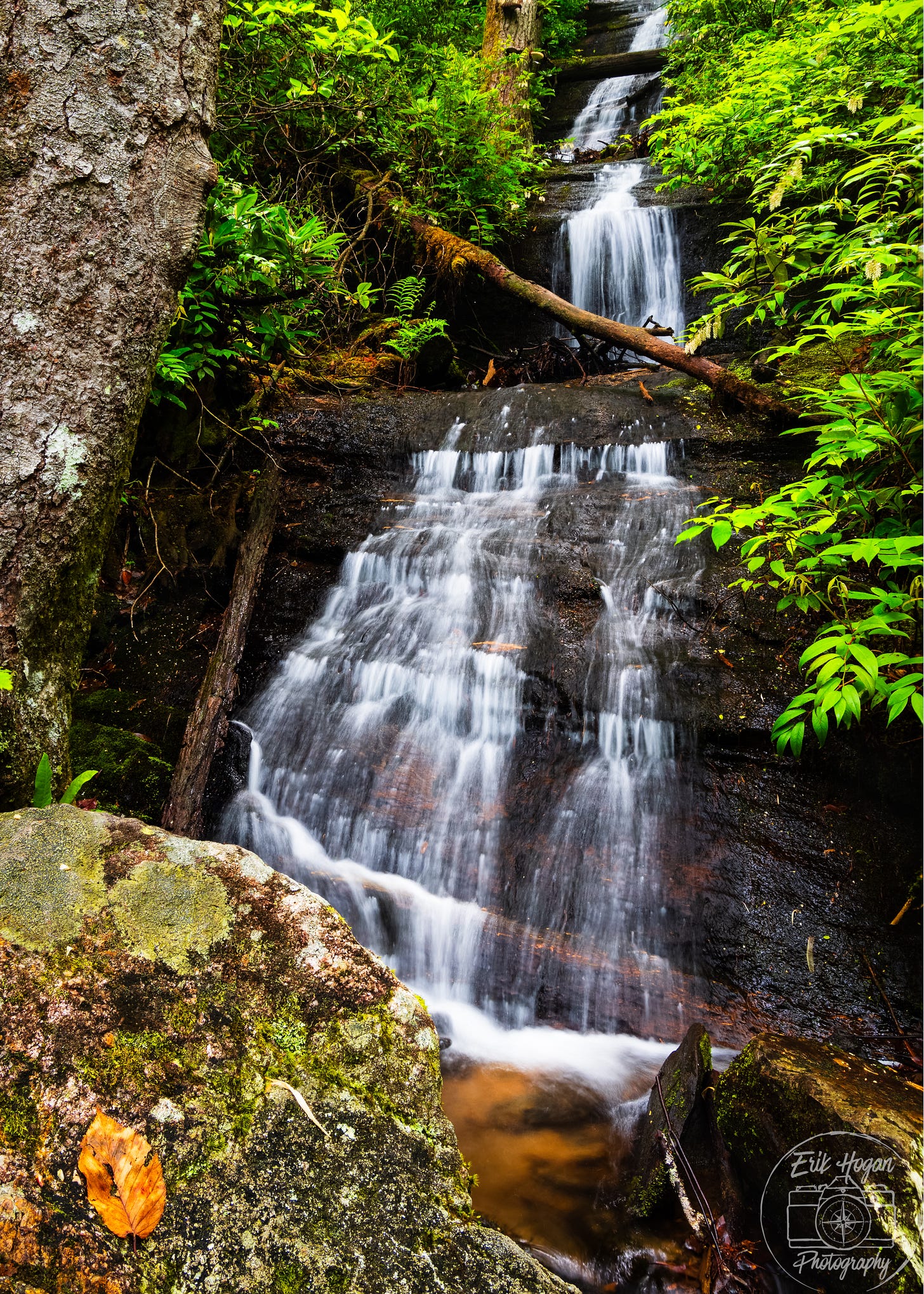
And so, I arrive at an anticipated waterfall named Hiker’s Peril Falls. The stream is small, but its series of tiered falls recede upward to a tremendous height, until lost in the flora. The trail spans its base across a slick foot bridge. This is a good viewpoint for a vertically oriented photograph.
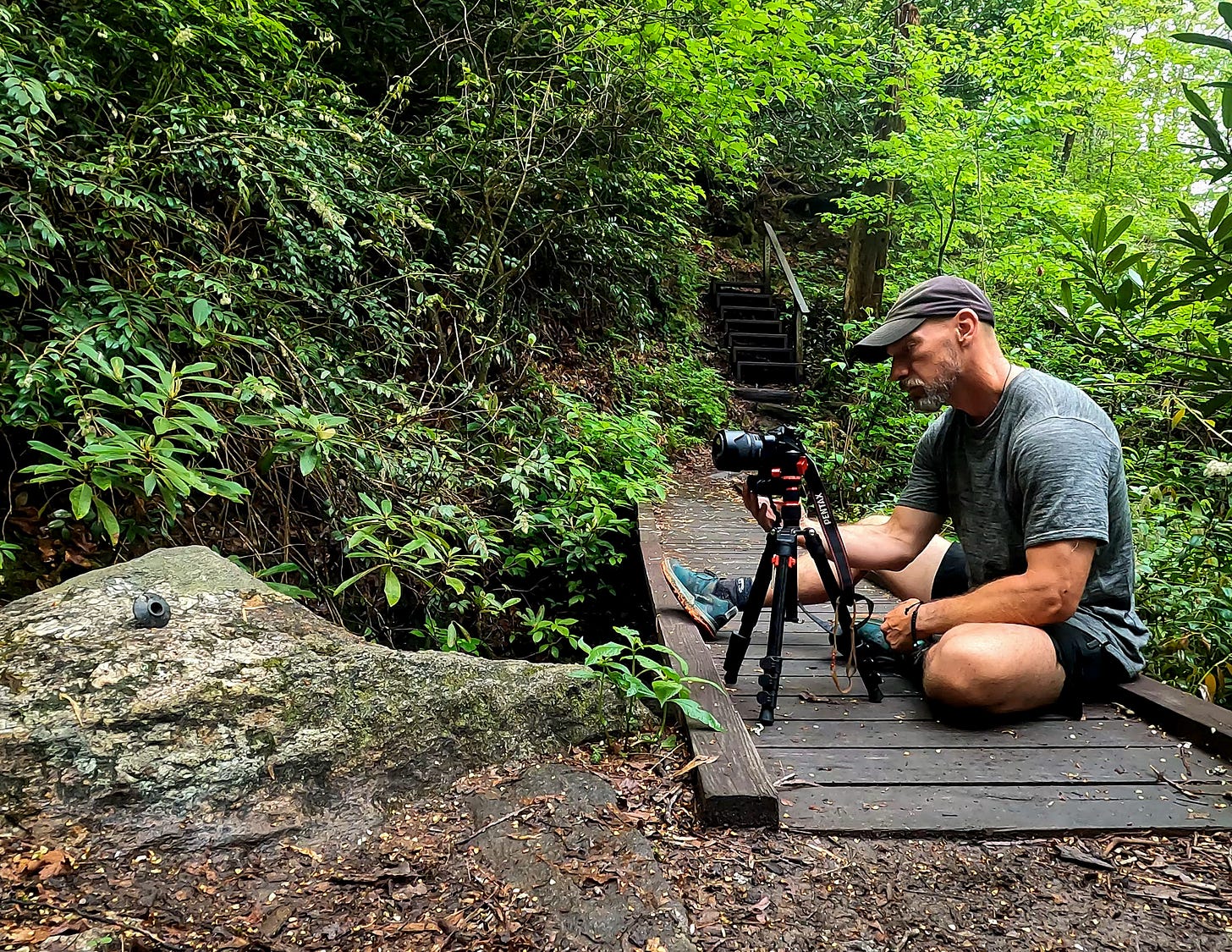
Just as I am preparing my camera and tripod, Dog Joint Guy passes through. I met him yesterday evening as he smoked a joint while preparing dinner and his newly adopted black and white dog laid in the sand recovering from the day’s hiking. He pauses only a moment for a quick cell phone picture before continuing on in silence.
Beyond Hiker’s Peril Falls, my map indicates two other waterfalls along the now East Fork Chattooga River, Upper and Lower Sloan Bridge Falls. I hear the din and see glimpses of the whitewater through the trees, but the Foothills Trail is elevated high above them. These waterfalls will have to remain unexplored.
The trail crosses a road. It is Highway 107, which I have driven countless times in the past to other destinations, never paying close attention to this intersection. Walking across it now feels like the foreign intrusion of a different world into the natural landscape of my current existence. I cross it in a hurry and quickly leave it behind.
My steps unfold forward unending through a land of bridges and stairs. It seems that every ravine or draw has its own constructed trestle of varying size and complexity to span it. Every hill has steps carved into the slope. It is a playground of distraction for my thoughts, otherwise unoccupied by entertainment or conversation, and seeking to dissociate from the effort. A sign catches my attention. I have passed into North Carolina.
I come upon Dog Joint Guy sitting at a stream crossing. The dog lies perfectly still with its head in his lap as he hangs his feet over the small bridge. He explains, almost apologetically, that he is letting the dog rest a while. I wish them well and leave them there, but they soon pass me again. We leapfrog this way several times in the early afternoon.
He stands in the trail a short distance ahead just as I crest a high ridge covered in pine trees, but I pause. My phone has limited cell signal here. I spend several minutes sending an “I’m ok” text message. Apparently he is doing the same.
“I’m getting off the trail at Whitewater Falls. Might try to catch a shuttle over to Sassafrass.”
He is referring to Sassafrass Mountain, the high point of the Foothills Trail, and the highest spot in South Carolina. I plan to reach it at the end of day four or the morning of day five. He sounds guilt ridden as he informs me of this when I approach. The mileage of his thru hike, on the same schedule as mine, is too much for his dog. They head off first again, faster than me.
We meet one last time at Round Mountain Gap, where an intersection with a spur trail leads north shortly before Whitewater Falls.
“I should have done this as a 6 or 7 day trip with a dog new to hiking.” He has decided to take the spur trail and camp one more night near here and asks how far I am going today.
“Hilliard Falls,” I reply. “But, we’ll see.” I throw in the qualifier, apologizing to myself more so than to him. It is mid afternoon and my legs hurt. It seems still so far away. He and his dog are in good spirits and start walking north. This is the last time I see Dog Joint Guy. I never ask his or his dog’s name, and he never asks mine.
Whitewater Falls is a major destination along the Foothills Trail. Every description of the trail I read in preparation showed photos of it. I haven’t reached it yet. Thunder explodes from the suddenly dark clouds above. Rain begins to fall and my hopes for a light sprinkle are quickly washed away as the rain comes down hard.
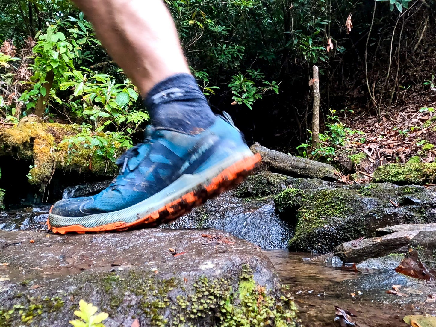
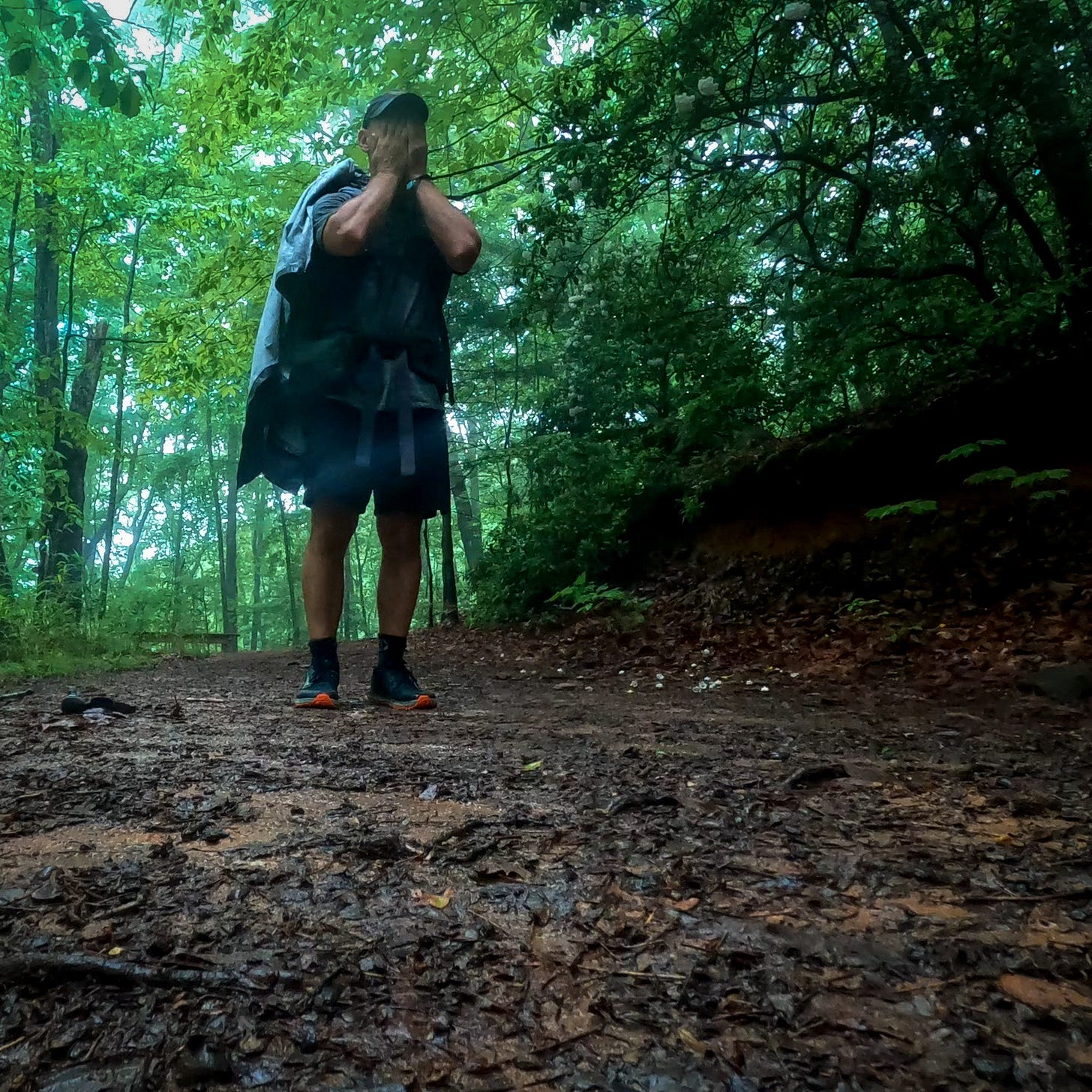
I quickly break out my poncho. It is the same one I used to cover my pack on a recent trip in Panthertown Valley, where I felt it following me through the forest like a gray ghost as I walked. In this heavy downpour I place the poncho over both myself and my pack, a configuration that works well. I do not have time to wait out the storm. My shoes are saturated, but I hike on.
With hurting feet and winded by the climbing elevation, I arrive at Whitewater Falls. The Foothills Trail bypasses this area, but there is a side trail to a viewing platform for the waterfall. Side trail is a lie. This is a daunting, seemingly endless vertical climb of stairs, which rise before me in the rain. It is Whitewater Falls, though. Painfully slowly, I gut my way up.
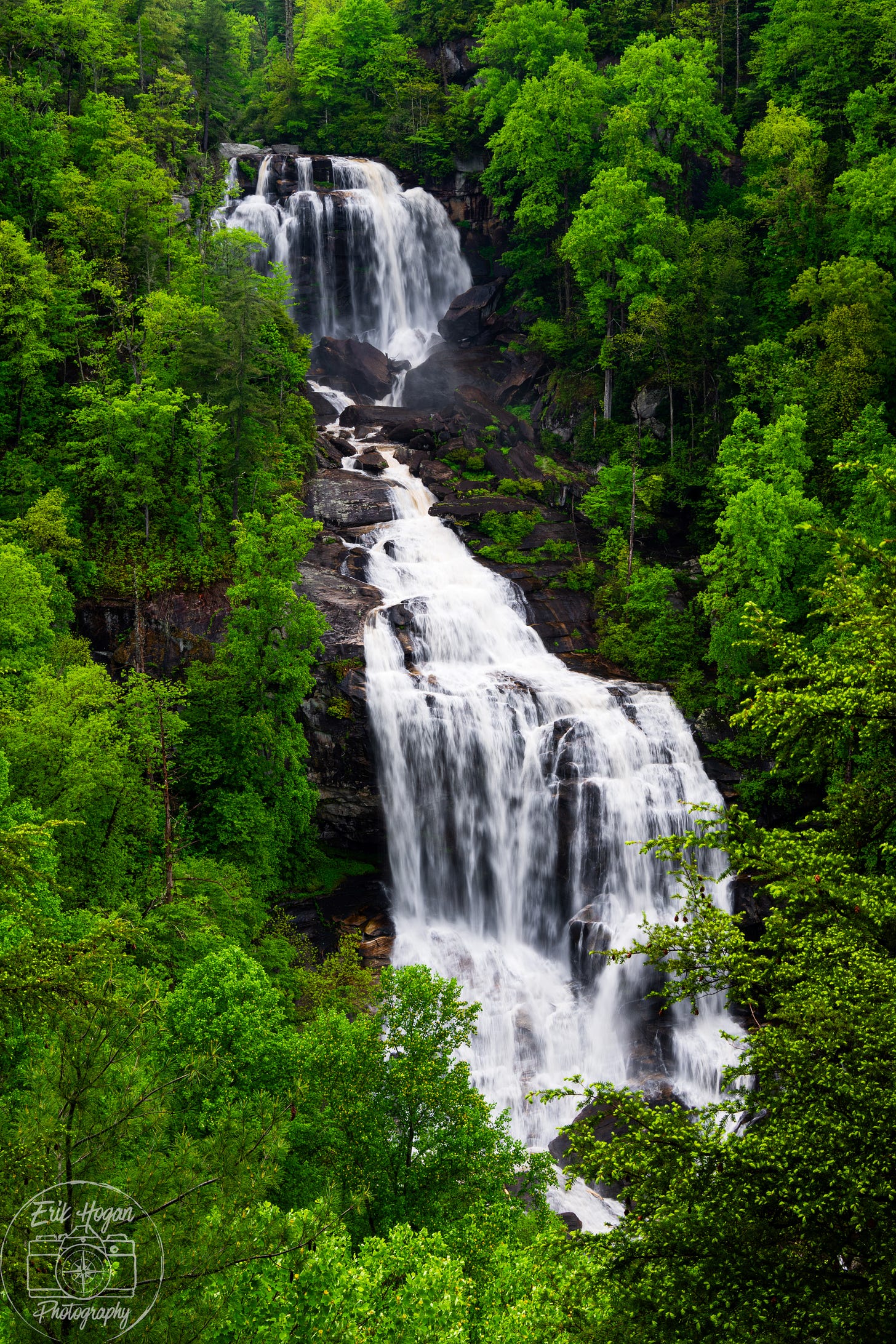
The rain ends as I reach the platform, allowing me to remove the poncho. From the vantage of the wide wooden deck I can see a distant solid curtain of green, with the stunning Whitewater Falls cutting through the middle. Its pearl water flow contrasts the dark rocks under and around it, all framed by unbroken forest. The cloud cover presents even light conditions and it is worth spending some time carefully setting up my tripod for a photograph.
The trail quickly descends into the river valley, becoming flat for a stretch after a long bridge crosses the Whitewater River and the trail follows it downstream. I miss any sign, but somewhere along this stretch I cross back into South Carolina.
Bad Creek Access is where the path begins a hard series of up and down climbs with many more stairs. I plod along slowly in the wet. The afternoon grows late and my calf muscles have become alarmingly painful from the day’s endless hiking. The air is still filled with moisture and my shoes are not drying as I walk. I know the skin on my feet is soft and pruned. Every step causes a wince.
More storms. Waves of thunder begin as low growls on the far side of the mountains, then boom intensely overhead, before rumbling into the distance. Just as one storm passes, then comes the next one.
With the thunderstorms comes more rain. Not only heavy, but unrelenting. Wrapped in wet pain with no choice but to continue, I detach my awareness from the experience. I can see my mind becoming desperate to see progress on a map as it is constantly tempted to check my GPS position. As if from outside of myself, I push myself on. Eventually I give in and try to find my exact position, but water on the touch screen of my phone causes it to go haywire.
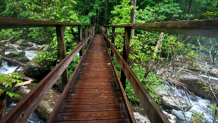

The path drops from another ridge to a long slippery bridge crossing of the Thompson River. The boulder laden waters present a striking scene that I hardly appreciate due to the now agonizing pain in my wet feet. I shuffle on, each footstep hardly passing the one before.
Every descent into a river valley means a climb out of the valley on the far side. The climb up on the far side of the Thompson River is the hardest yet. Stairs beyond stairs, stretching up the mountainside, torturing my knees. I am forced to rest and heave my lungs after each step.
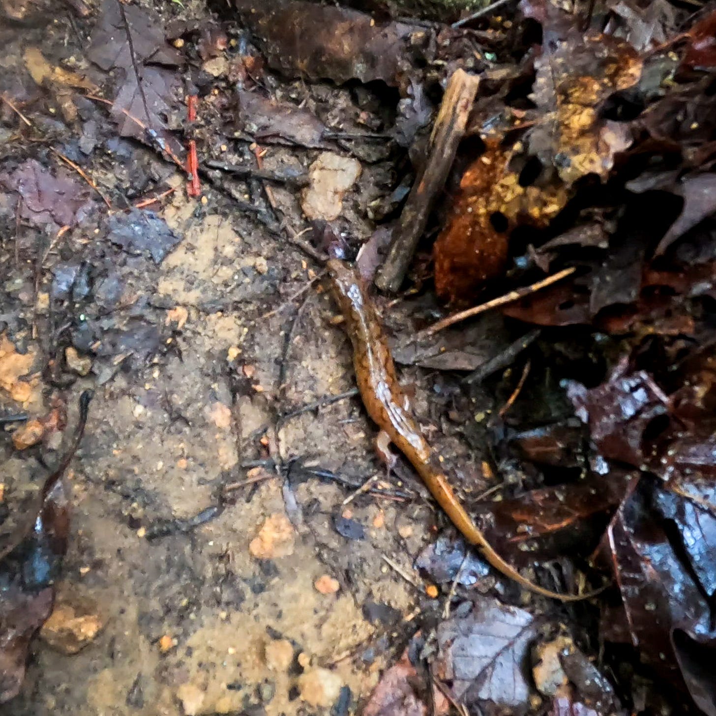
It is approaching 6 pm and the rain still falls. I begin to realize that I cannot reach Hilliard Falls today. But, I must continue to some end point. I can only stare at the ground before me as I push myself forward by the waning strength of my willpower. It is then that I notice a phenomenon of these mountains in thunderstorms. In the presence of the deluge of water running down the trail, all of the salamanders in the hills come out of hiding to linger in the middle of the path.
The Southern Appalachian Mountains are home to a mind boggling number of salamanders, but they remain mostly hidden unless one specifically looks for them under rocks, logs, or in streams. Now, every few steps, another one squirms and squiggles out of my way. I smile. These salamanders are a gift from nature, just amusing enough to distract my mind from the physical misery I am in.
I reach a crossing of Coley Creek as the evening shadows deepen and the rain abates. I fill my water bottles. Around the next bend is Coley Creek Campsite, well established with flat ground, benches, and a bear cable for hanging food. At 7:30 pm, after close to 20 miles traveled through rugged terrain, I drop my pack in unmitigated exhaustion.
As physically challenging as this day has been, the satisfaction of doing it is unparalleled. The wet, the pains, the fatigue. All of this I gladly offer to the gods of the forest for the rewards of accomplishing exactly what human beings have been designed to do over millennia. As night closes in I lay back in my sleeping bag, overcome with the feeling of sublime fulfillment.
What a tough day! Its never felt so good to finally crawl into my tent. And, this is only day two!
Tell me what you think or let me know your questions!
Keep reading-
If you are enjoying Field Notes, please consider supporting my work. You now have the option to support monthly with a $5 subscription.
Below is a link to a photo gallery of my best photography from this journey. You can purchase an 11x14 print of these photos for $25 (plus shipping, which unfortunately could be high depending on your location). I will add to this gallery with each issue of this series to avoid giving out any spoilers. Keep checking back! Proceeds from the sales directly support my efforts and are greatly appreciated!
Interested in something other than a 11x14 photo print? There are lots of options with size and I can also print on metal, acrylic, and canvas. Let’s talk-












I love the drama in your writing Erik. I really got a sense of how difficult this stage of your journey was and how much satisfaction you gained from completing it. The pictures are great too - some of the waterfalls look stunning. I also like that you have included yourself in some of the images - it really adds to the storytelling.
A very enjoyable read. 🙂
I really enjoyed reading you Day 2 - hiking in the rain for long periods and trying to get in the miles - I felt it as I read words. Your photos and "selfies" were stunning. As I mentioned before, hiking point to point is tough when you have this "deadline." Any kind of minor mishap, getting lost, getting a blister can add undue pressure to a hike. My husband and I had to disband a group hike that was point to point in Switzerland because of toenail issues - lesson learned. I have learned to stick to "out and back" hikes if I can or have reasonable bail out points. Thank you again for spending the time with developing and writing your post - your prose inspires me to keep moving forward with my own efforts.