Panthertown Valley, Day 1
Field Notes II.XV: Backpacking and photographing Panthertown Valley in the Nantahala National Forest, North Carolina
Welcome to Field Notes!
Springtime arrives in the South with a shocking suddenness. At home, the trees erupt with delicate greenery, seemingly overnight. Driveways become draped with yellow blankets of pollen. Carpenter bees chew holes in the wood rafters of the roof of my back porch while, in the warm afternoon sunlight, I mow shin high weeds in my lawn for the first time this season.
Energy vibrates in the air, bursting out of its winter dormancy. My restlessness grows beyond containment. The only recourse is to force a vacancy in a packed schedule and plan an overnight backpacking trip.
Panthertown Valley is a backcountry area in the Nanatahala National Forest in North Carolina. It does not have the highest peaks in the Southern Appalachians, but has been described as the “Yosemite of the East” because of its multiple rugged rock cliff faces. It has been an interest for a while, and I had hoped for more than a one night trip, but now is the time to go.
I plot the trek on the map. Though there are several 4000 plus foot peaks, hopefully providing photography vantage points, the trails span long sections following the flat valley floor. I set a goal to cover some mileage through the area, to explore it, and also to test some new lighter pieces of equipment along the way.
Hours before sunrise on Monday, I pack my kit. It is normally an intuitive process, taking only minutes. Each piece of gear finds its designated location and, by packing it, I know I have it all. The new items give me pause and force me to think through minor reorganization. I am missing something, but cannot think of exactly what.
Twenty minutes into the drive, mind wandering across the dark highway, it hits me. I didn’t pack a fuel canister for my stove. Better to find out now than on top of a mountain at dinnertime, but I fume with frustration at myself as I turn back towards home.
Just past 9 am I finally roll into the dirt parking lot of the trailhead. The drive here has been like a journey several weeks back in time. Springtime has not fully embraced the mountains yet. Trees stand bare against the hazy clouds in the sky. Some undergrowth is just beginning to show signs of bursting buds.
I lift my pack, noticeably lighter than I remember, and begin the gentle climb up the ridge line towards the peak of Blackrock Mountain. Mid-morning temperatures are comfortably warm, but the wind lashing through leafless branches overhead gives a strong impression of winter. It sounds cold. It looks cold. Very quickly, I begin to sweat.
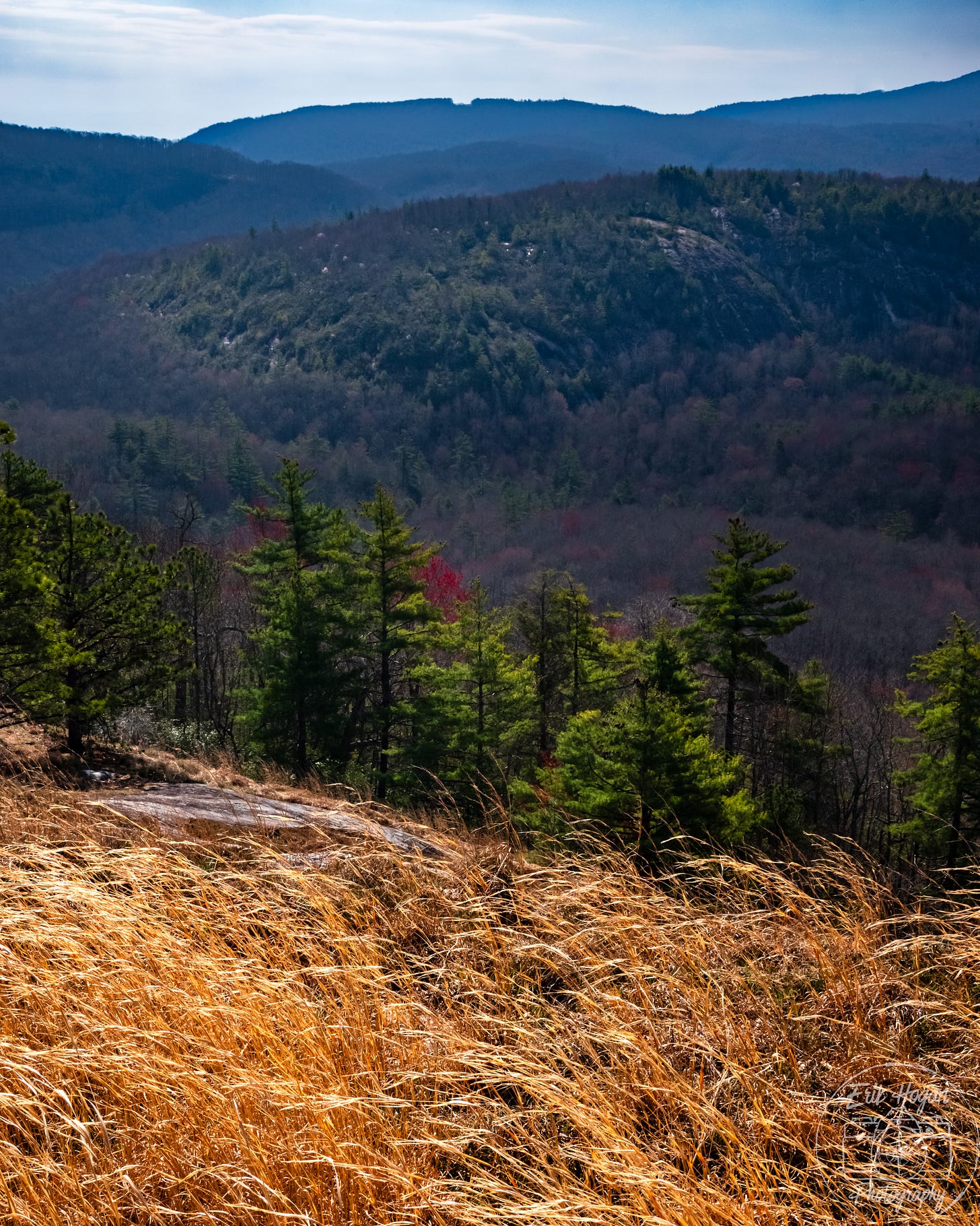
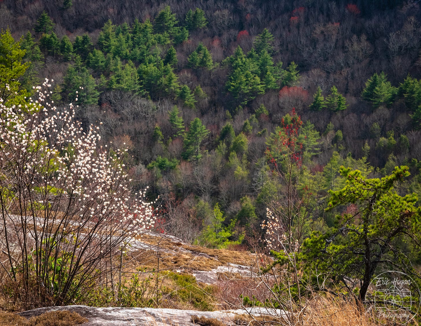
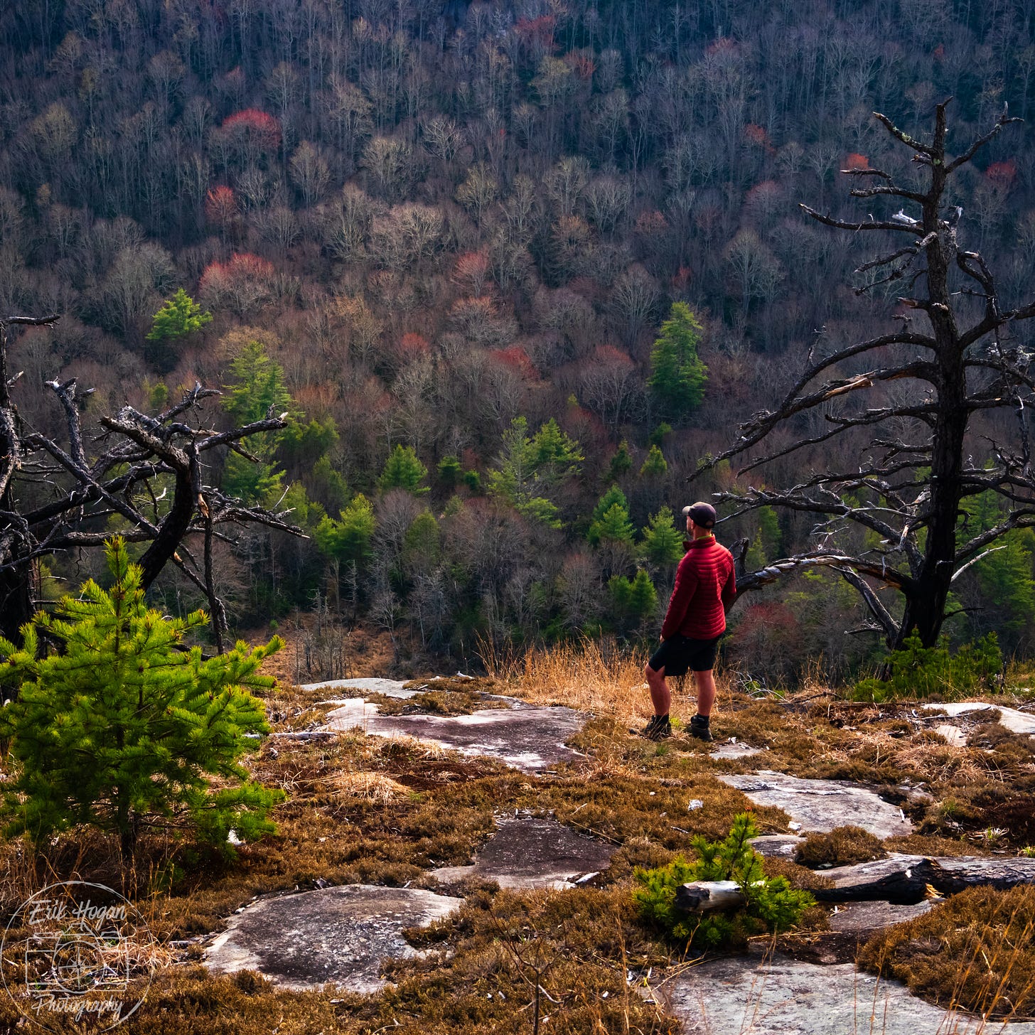
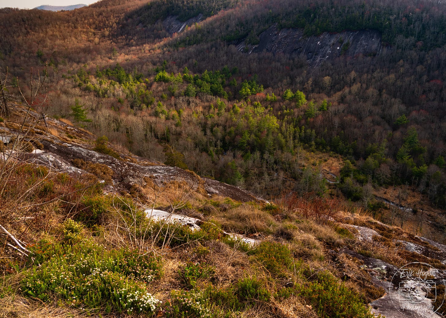
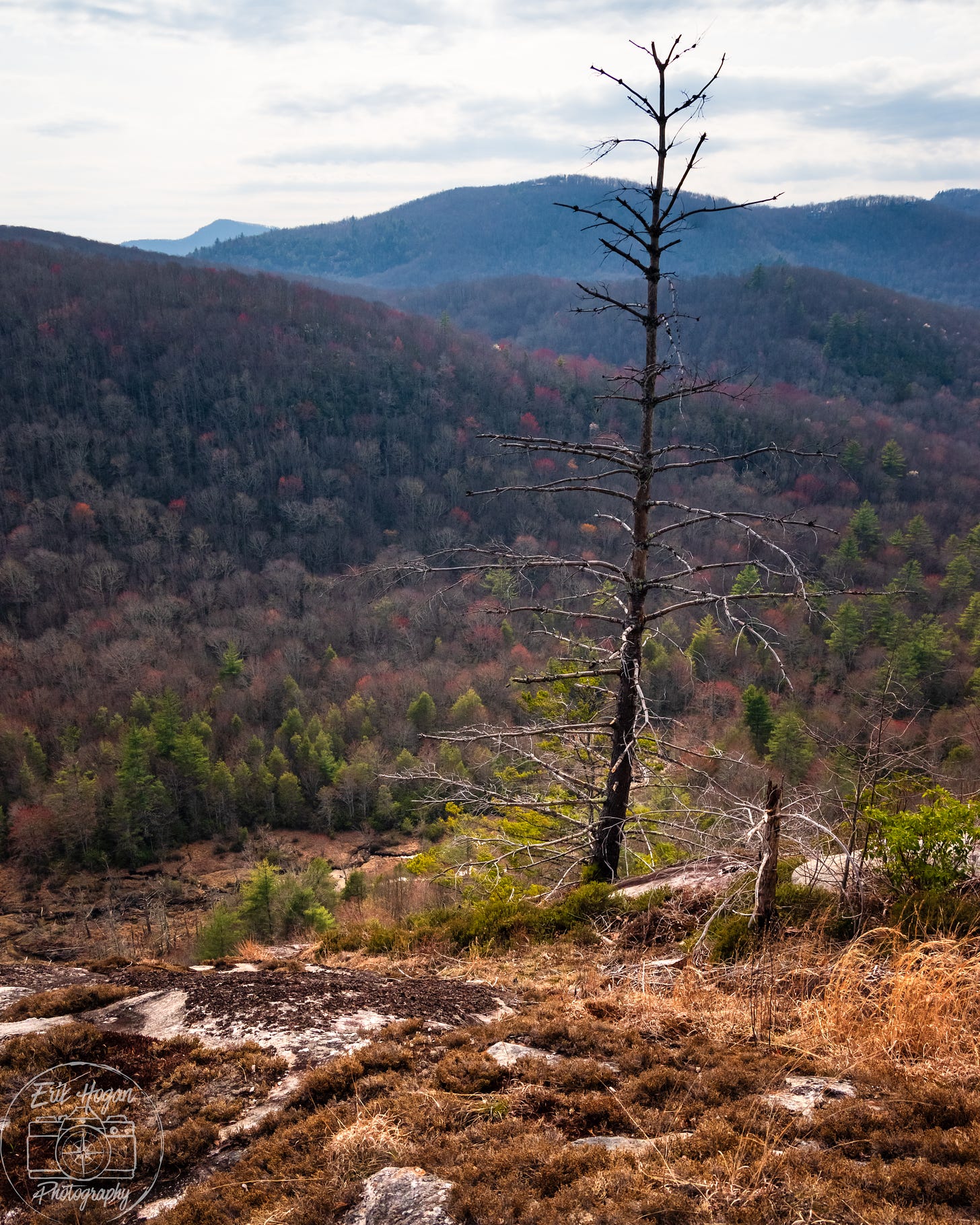
There are no iconic Appalachian balds here. Blackrock’s peak is forested. The descent from the top soon reaches a rocky cliff face named Purdee Point. The unobstructed view here stretches for miles across Panthertown Valley below. Broken clouds scatter dappled light on the hills. Across the valley stands another bare cliff on the western slope of Little Green Mountain. Yosemite of the East it is, in character if not in scale. I smile at the name of this place. In my mind I can so clearly hear “pretty” spoken in Appalachian drawl.
Unseen birds chatter in the forest as I walk. Are they following me? I welcome the solitude here, but also would not mind their company. The trail slides down the mountain towards the valley floor. Black birch trees clutch the trail with their roots and the so familiar rhododendron crowd the landscape. As I reach the bottom, I am tumbled out onto a flat walk alongside a stream.
In these flat lands walking becomes a meditation. But, rather than emptying my mind, I give it free reign to wander. It conjures descriptive sentences I would like to write, but can now only hope I will remember. I think of camera settings and film shots. I remain engaged with the land I see around me, but here in the wild my mind becomes its own creative wonderland.
Noon approaches and I near a spot on Panthertown Creek designated as Sandbar Pool Beach. By now the day has grown still warmer and hiking has made me hot. I begin to wonder. Rounding a bend, I find a true sandy beach at the edge of a pool before a small waterfall. The scene is perfect and I have yet to encounter another hiker. I drop my doubts in the sand next to my clothes, strip to my underwear, and take a frigid plunge.
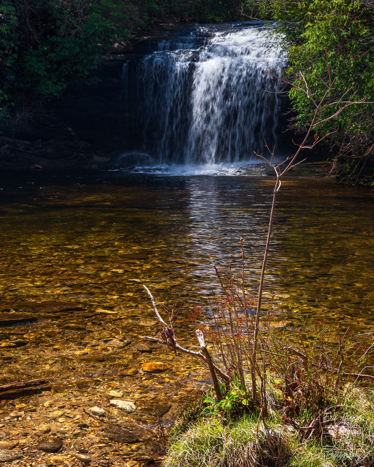
The walk continues, just now with a soggy bottom. I dry as I move. The trail follows Greenland Creek in a casual clockwise circumnavigation of the base of Little Green Mountain. I arrive at the second named waterfall of this trip, but the first one large enough to justify a short break, Schoolhouse Falls. I make an attempt to photograph it, but the sun is high. The clouds are sparse and I do not want to wait.
The trail begins its ascent of Little Green Mountain. It is a climb, but from this angle of approach, not a bad one. The summit appears to be a popular camping spot, wide and flat. As is common in these areas, I have some difficulty locating the spur trail I am looking for, but discover it with GPS assistance. It leads me to Tranquility Point. Stunning views unfold before me beyond the rocky outcroppings at this cliff face. Purdee Point, the vantage I photographed from this morning, is plainly visible. It is an odd sensation, knowing that I am standing on a distant focal point of one of my future photographs.
Another hiker lounges in the shade nearby. Out of reverence for our aloneness, I do not wander closer to explore different views. The mid day sun casts a harsh light and I know these results in my photos. A small patch of shade welcomes resting and snacking. I too lounge for a while, looking into the openness before me, hearing only the wind.
An easy descent from Little Green Mountain returns me to the valley floor. The trail begins circling the base of Big Green Mountain, to approach it from its more gentle rise in the south.
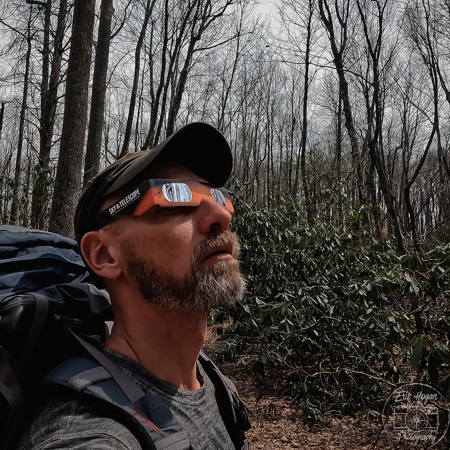
It is past 2 pm. The light of the afternoon gradually diminishes with an unnatural flatness. Eerily dim, I sense an ill defined feeling of looming overhead, but I know what this is. It is the beginning of the April 8 solar eclipse. Although well outside of the range of totality, its effects are very apparent. Clouds come and go and temperatures drop. The birds stop singing. I walk on in silence.
Near the peak of Big Green Mountain I find yet another rocky cliff face with wide open views. This point is on top of the Great Wall, which I will see tomorrow from its base. At its high point, the dim eclipse light makes the landscape appear almost achromatic and lifeless. I put on eclipse glasses and witness a crescent sliver of a sun, mostly covered by a black silhouette of the moon.
Although an easily explainable natural phenomenon, the eclipse imprints a slight feeling of unease, even as it fades away. I reach the summit and set up camp. The thin layer of soil on rock means I must brace the stakes of my tent, which do not drive in deep enough. After a day of hiking, I make a coffee and re-group.
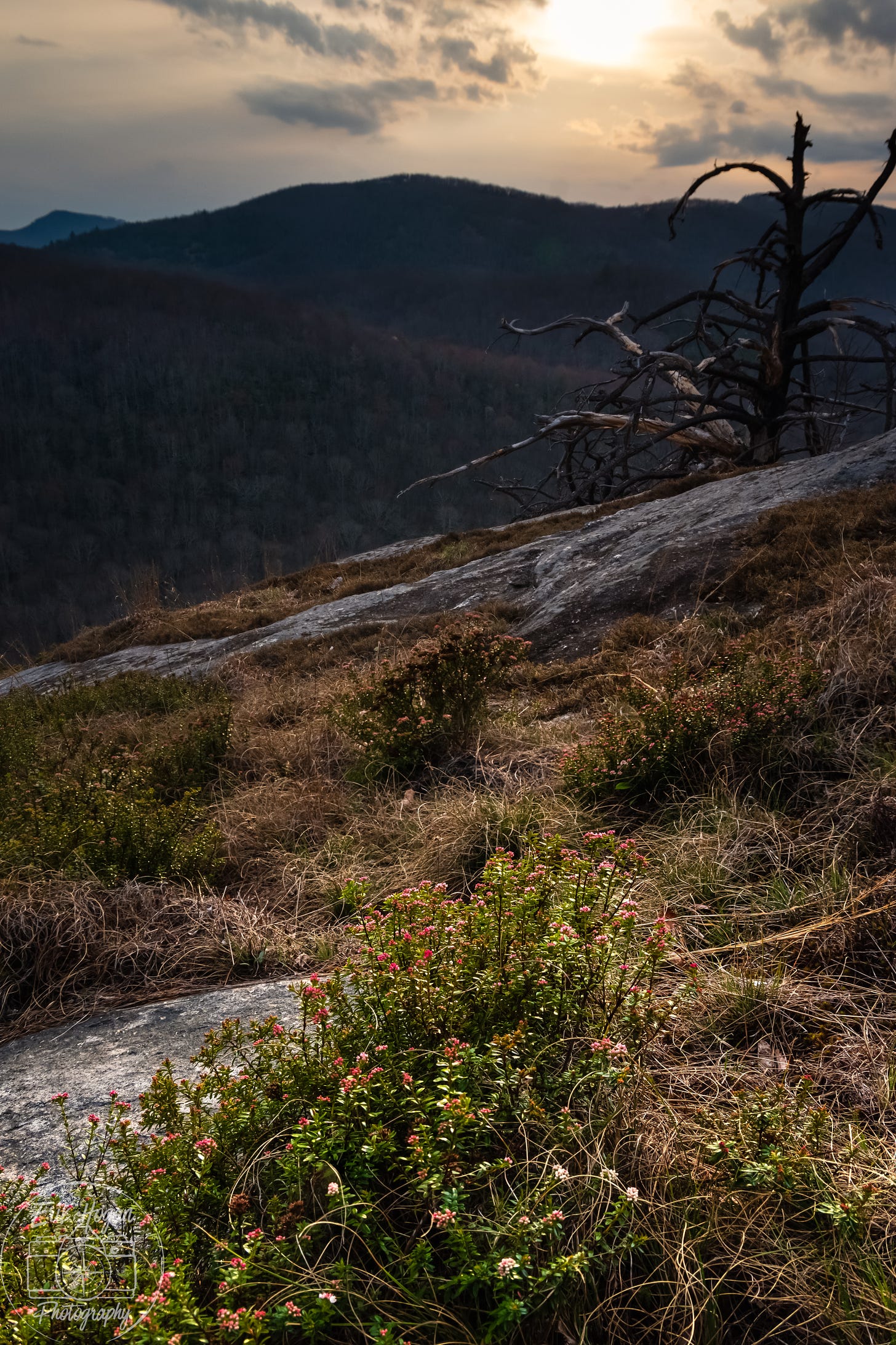
Evening unfolds across Panthertown Valley. I take my time, unhurried, and enjoy it. When the light is right, I photograph. Much of the time I simply sit, watching the shadows grow. A multitude of tree frogs begin to sing from the flat valley floor below.
Sunset evolves calmly. An orange flare just as the sun reaches the horizon peaks my interest, but distant houses on the mountain ridge prevent me from photographing it. Now I am grateful for this morning’s return trip for a fuel canister. I make my dinner in my new small titanium pot and thoroughly enjoy its satiating warmth. As darkness falls I crawl into my tent and quickly find sleep.
Thank you all for coming along on this journey with me! Looking ahead, next week we will conclude Panthertown Valley with day 2 of the trip. The week after, I will present the Field Notes Film.
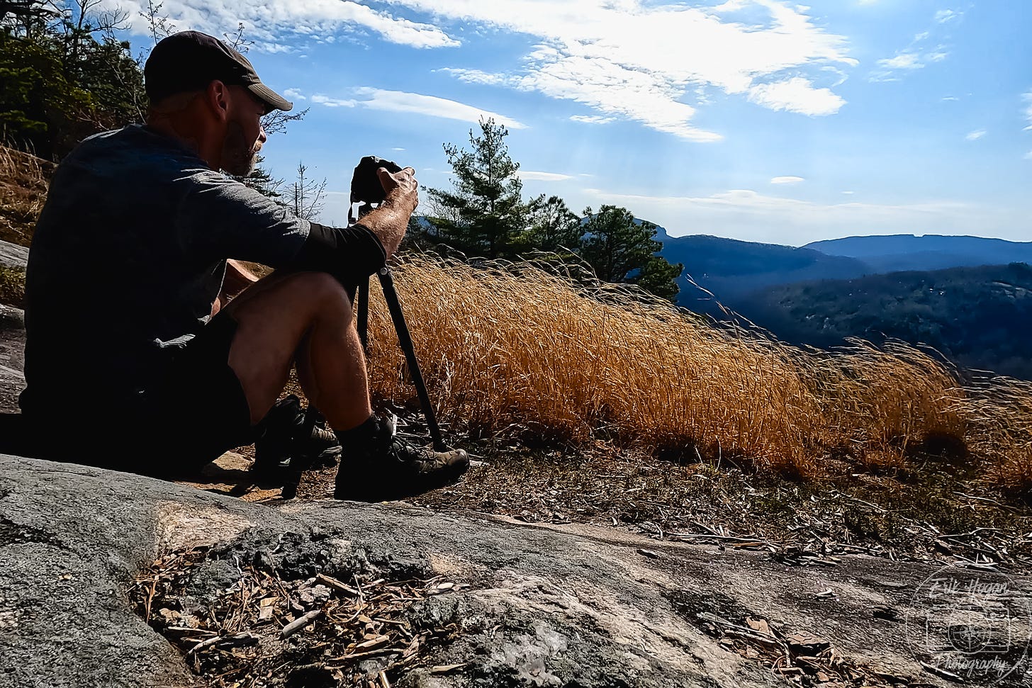
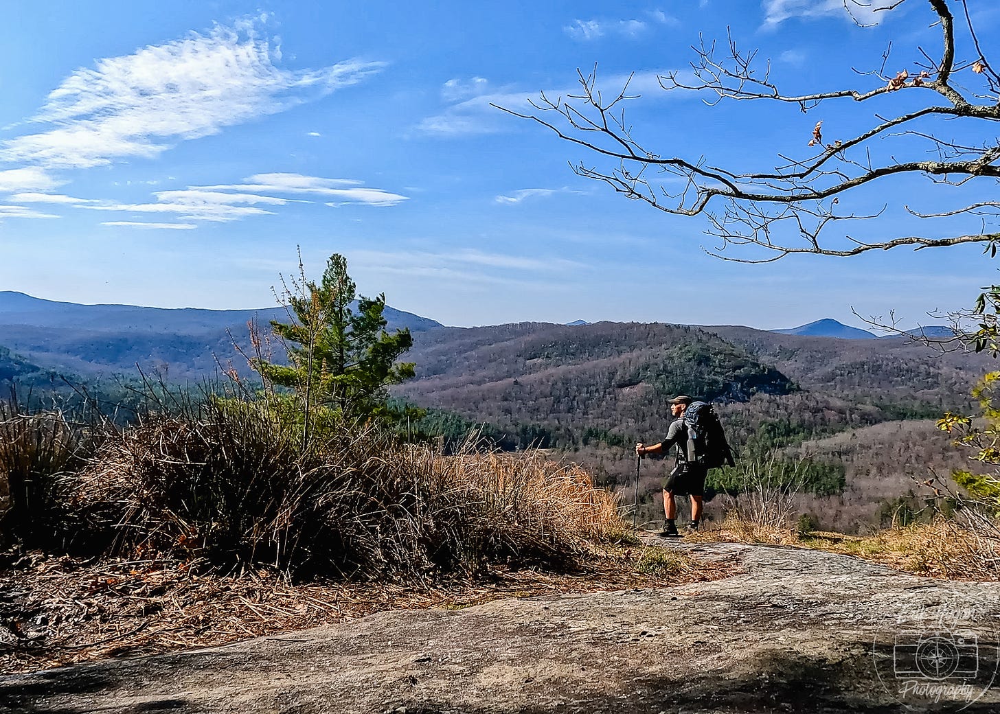
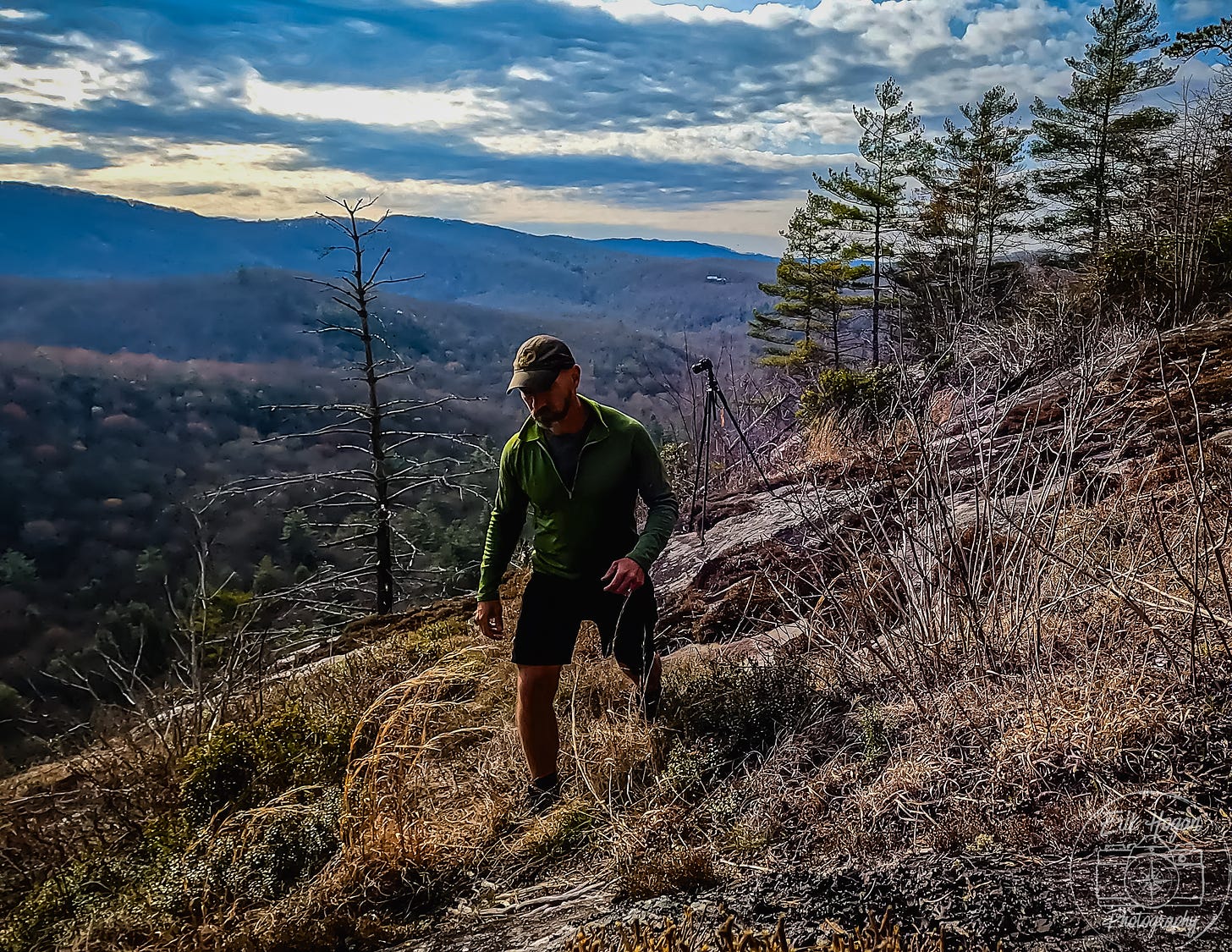
Alright guys, feedback time! I added a few selfies into this issue. What do you think? Yea or nay? The one with me wearing the red puffy jacket is taken with my DSLR camera and looks pretty good. The others are GoPro selfies, some of them “high quality” screen grabs from film footage. I don’t like the quality of those, but I don’t mind adding them if they introduce a human and relatable element into these stories. What do you think?
I have a couple of big adventures on the horizon. For those of you who follow closely, you might have read that I intend to thru hike the 77 mile long Foothills Trail in South Carolina. Well, the plan is set and, unless some wrinkle arises, I’ll be starting the trek on May 5.
Another great adventure is coming up over the summer, but I’ll just tease it for now and announce it closer to that time. Stay tuned!
Field Notes is entirely reader supported. If you like it, please subscribe. I could also use your help to spread the word. Forward the email, share the post, tell your friends- every bit helps!
And if you haven’t yet, please consider subscribing so that you don’t miss an issue of Field Notes!




I don't think selfies distract from the rest. Beautiful photos. I'll be visiting NC soon, we're driving the Blue Ridge Parkway and stopping for a few short hikes. Hopefully staying in Mt Pisgah.
I like the selfies! Especially the full body ones which give a sense of how vast the landscape is.