Joyce Kilmer-Slickrock Wilderness- Day 1
Field Notes ed XVIII: backpacking and photographing the Joyce Kilmer-Slickrock Wilderness Area of North Carolina: Stratton Bald Trail from Santeetlah Rd.
Welcome to Field Notes!
In this edition we dive right into day 1 of my 3 day/2 night backpacking trip to the Joyce Kilmer-Slickrock Wilderness Area of North Carolina towards the end of August 2023.
I’ve included several of the best photos I took on that first day of the trip.
A raspy cry shot uncontrollably from my throat as I froze mid trail. The seizing adductor in my right thigh pulsed in agony. I dug fingers into the muscle, trying to get the intense cramp to release. It would not. I dropped my pack and dragged my leg to a nearby rock where I could elevate and stretch it. Then the VMO, the tear shaped lower quad muscle, rippled in spasms. A stretch in one direction triggered the muscle opposing it. The muscle convulsions eased and I shuffled forward by inches, but the cramps then jumped to the other leg. Sweat ran freely through my saturated shirt and down my arms, dripping like rainfall into the dust on the path. There were still miles to climb ahead, but even more if I turned back. My body needed water and salt and rest. I was stuck on a high ridge line, unable to walk.
A week ago I was hopeful. Strong August thunderstorms raced through the region almost every day, leaving behind intensely saturated sunsets. There was a crisp dryness each late summer morning that hinted towards autumn. Broken, textured clouds stood pronounced against azure skies. I visualized the mountains draped in these conditions and became restless over the photographic potential.
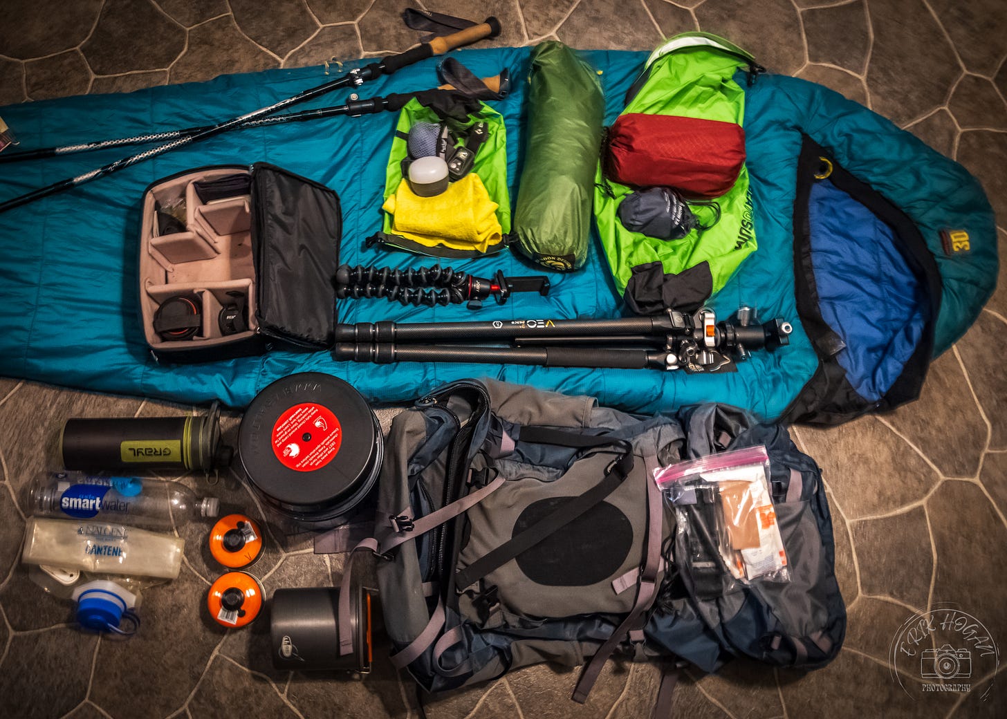
It is now early Tuesday morning of the next week. I make my final preparations, stuffing everything into my Osprey backpack, filling it to the brink. Three days and two nights in the Joyce Kilmer-Slickrock Wilderness Area is not a long time. The peaks are just above 5000 ft in elevation, not high enough to require extra cold weather clothing. Food requirements are not overwhelming. However, due to this area’s remoteness and the bear warnings I read on line, I opt to carry my BearVault 450 bear-proof food cannister. It is maddeningly heavy and bulky. I must also carry some amount of water, because every description of my chosen campsites indicates its availability is unreliable. On top of this sits the weight of all of my camera gear and extra battery banks to charge my phone, which I have to use for both navigation and attempts at making video.
I pull out of my driveway at 0700 under a much different forecast than last week. A heat wave is encroaching, with no rain on the horizon. The daytime skies are a cloudless, punishing blue. My optimism for the trip has come to rely on the hope that the elevation is high enough to keep temperatures tolerable and to draw in some evening or early morning clouds.
A fairly long drive is extended by a navigation app re-route and some confusion about where to park at the entrance to the Joyce Kilmer Memorial Forest. No parking signs grace every shoulder of that road and a nearby campsite gives the impression that parking is only for registered guests. I explain myself to a Forest Service employee parked near the intersection at the entrance to the memorial forest. He suggests “well, most of ‘em park right here,” indicating the unmarked pull off that leaves me concerned about thefts or getting towed. I decide to trust his advice and, before driving away, he warns me of numerous fallen trees on the trail I am about to take.
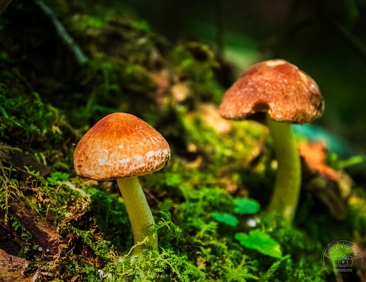
It is late morning as I start the climb. While not steep, the trail proceeds in a steady upward grade through hardwood forest. This area is renowned for its stands of huge, old growth trees. Sadly, many species are vanishing due to invasive diseases and insects. American chestnut was once the apex tree species here, but a fungal blight from Asia arrived in the early 1900’s, eradicating the species and forever altered the character of these forests. A very dense hardwood, slowly rotting chestnut tree corpses are still scattered across this land. More recently, the hemlock woolly adelgid introduced from Japan, has begun decimating the Eastern and Carolina hemlock populations. Throughout the valley I see these standing tree skeletons, bleaching in the late summer sun.
The temperature is warm, but not nearly as blistering as back home. The climb, however, is unrelenting. Fatigue grips my hamstrings within the first mile, perhaps affected by a strenuous work day yesterday. My pace slows, but I press on.
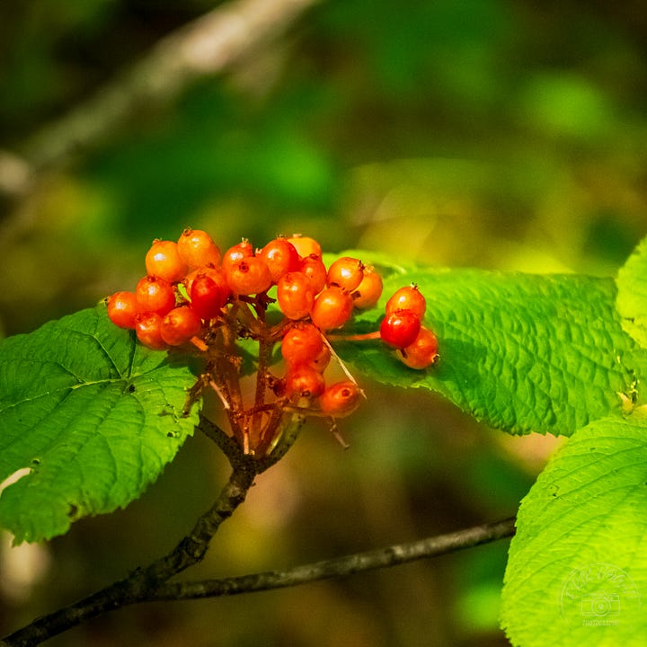
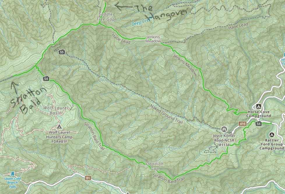
The trail winds its meandering ascent up the side of the valley to the top of Horse Cove Ridge. Now it is hot. I sweat profusely and my lungs are pumping for air. Stratton Bald Trail is a well established groove in the earth. It is also the most overgrown with shrubbery that I have ever tried to walk. I use my trekking poles and forearms to force my path through walls of green, staring at the ground to assure that I stay within the narrow track. Briars and twigs lacerate me. Unseen branches or rocks cause frequent stumbles. The enveloping vegetation creates a suffocating humidity in the afternoon air that makes breathing difficult.
The ridge line has no water. I am carrying 2 extra liters, which I need to save in the event that I cannot find more water near camp. I sip from my Grayl water filter, but try to save as much as I can for the miles ahead. The ridge line elevation grows and the trail skirts some smaller peaks along the way. My pace has throttled down to a crawl, but I can see the angle of the sun growing low. I know there are still many hours to go, but I begin to worry about reaching Stratton Bald in time for sunset.
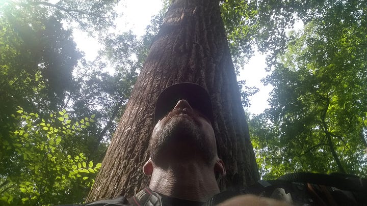
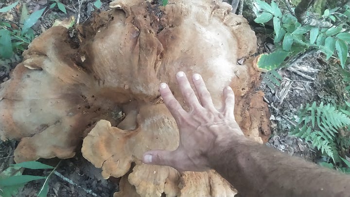
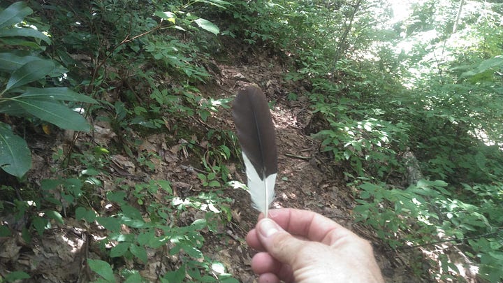
I find a wet streak across the trail. There is no flowing water, but I can dig in the wet leaves enough to create a muddy puddle. I drink what is left of the water in my Grayl. Then, I use my bandana to soak up the puddle water and squeeze it into the filter. The Grayl functions like a champ and eventually I have a re-filled bottle, although the filter is now very slow and may be clogged.
I am disappointed by a lack of any views along the trail. Any gap in the tree canopy results in a jungle of undergrowth. Wintertime views may be better, but even then they would be obstructed by trees.
I estimate that I am about 5 miles in on the 7 mile walk. I feel a twinge in my right quad. It is a slight rippling cramp that I can see on the surface of my leg. Its a curiosity, an odd sensation with each step, but not painful. Yet. The cramps grow and spread as I try to slowly and steadily progress on the trail. I tell myself that every inch forward is one that won’t be taken away and that I won’t have to do again. I am becoming noticeably light headed. When the cramps hit my adductor in my inner thigh I am crippled. I need to stretch it to release it, but any movement seems to make it worse.
I know I need water and salt. Bringing electrolytes on this trip had not crossed my mind. I do, however, have a supply of home made beef jerky, which ended up being very salty. I rest, eat the jerky, and drink water from the Grayl. Gradually, the spasms ease. Large strides trigger them still, but I am able to shuffle forward, inching my way up the mountain.
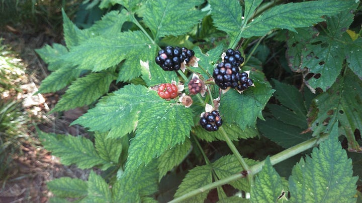
I lose the trail in the vegetation only briefly in a couple of areas where it crosses rocky ground. Every so often I receive a gift from the land in the form of ripe blackberries leaning into the path. I gratefully consume them as I go.
Stratton Bald Trail intersects with the end of the Haoe Lead Trail. A wooden sign at the crossing tells me I am at the right place. I turn left and now the trail follows a different ridge line in a graceful, slow decent. Massive rock formations jut from the crest of this ridge at acute angles. The area is still forested, though. I don’t have views and I miss the geographic marker for the mountain top.
A short distance west of the actual peak, the trail exits a stand of fir trees into a wide grassy field, spanning several acres. This is Stratton Bald. I quickly survey the area and chose the best location, where I set up camp and rest briefly. The grass is speckled with purple flowers that glow in the late afternoon light. The views into the distance here are not great, but I can see mountains. I follow directions I wrote out by hand for the location of a potential spring at the southeast corner of the bald. The spring is there and water is flowing. I fill my belly and my containers with the most opulent beverage I have ever consumed.
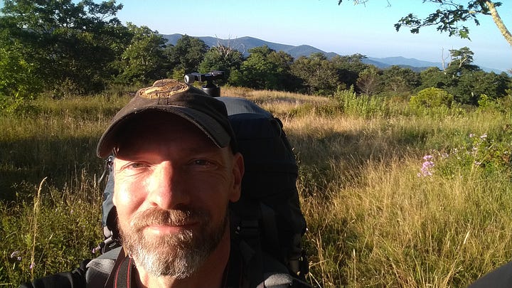
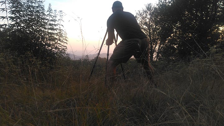
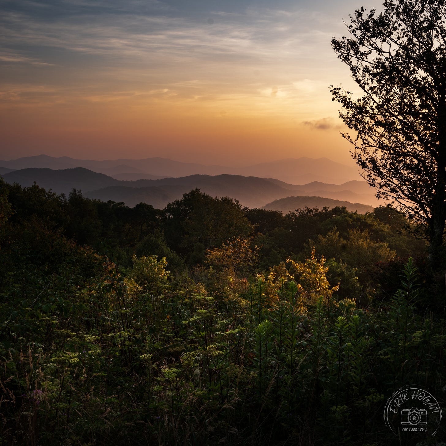
The shadows have grown long as evening approaches. It has come time for me to work, and I gather my camera and gear to seek the sunset.


